Armenia is a largely mountainous landlocked country bordering Georgia to the north, Azerbaijan to the east, Iran to the south and Turkey to the west. Although it is landlocked, it includes Lake Sevan, the largest lake in the Caucasus region. The photos shown on this page are taken from a road trip around the country which started by crossing over the border with Georgia and went as far south as the Iranian border. The photo titles end with the name of the province (or marz) of Armenia that the photo was taken in. In total, the Administrative divisions of Armenia comprise ten provinces and the city of Yerevan. I decided to use monochrome photographs for this page, because I felt they were more effective in highlighting the inspiring shape of the terrain and the cloud formations. We found some of the minor roads in places were better for driving a car on than the major highways as the surface often seemed of better quality and there was far less traffic (think slow trucks on mountain passes in transit from Iran to the Russian Federation). It is worth mentioning that some of the photos on this page were taken along sections of road in the Tavush Region which the British Government website advises against all travel to (as of August, 2015).
| The Ten Provinces (Marz) | 1 | Shirak |
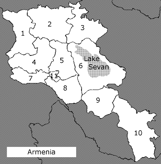 |
| [Plus Yerevan] | 2 | Lori | |
| 3 | Tavush | ||
| 4 | Aragatsotn | ||
| 5 | Kotayk | ||
| 6 | Gegharkunik | ||
| 7 | Armavir | ||
| 8 | Ararat | ||
| 9 | Vayots Dzor | ||
| 10 | Syunik | ||
| 11 | Yerevan |
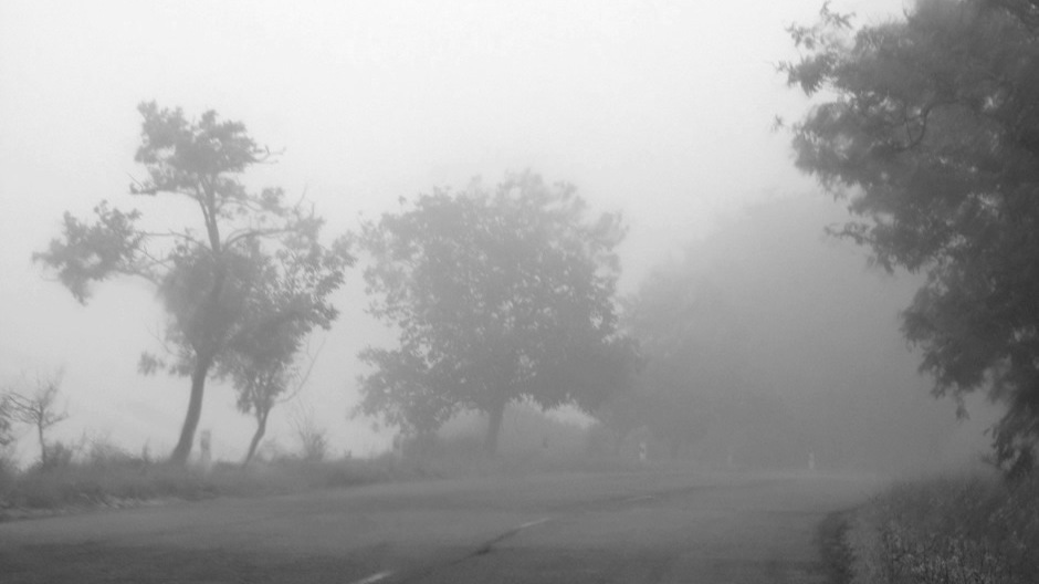
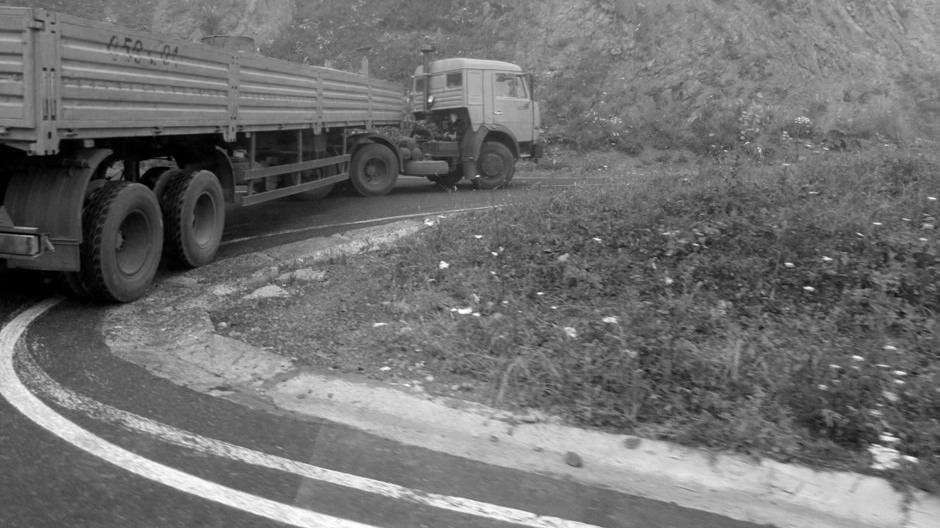
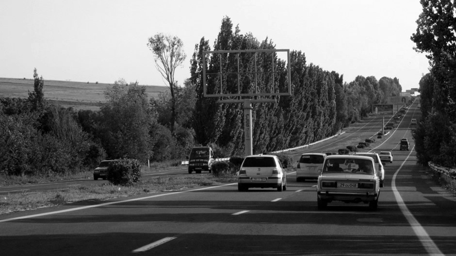
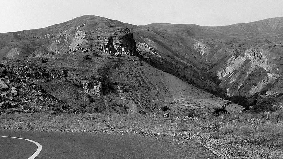
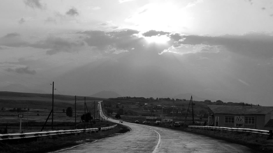
M16 Road in the far north, Tavush
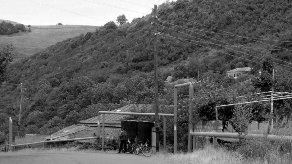
Water Pipes, Tavush A region in the North of Armenia)
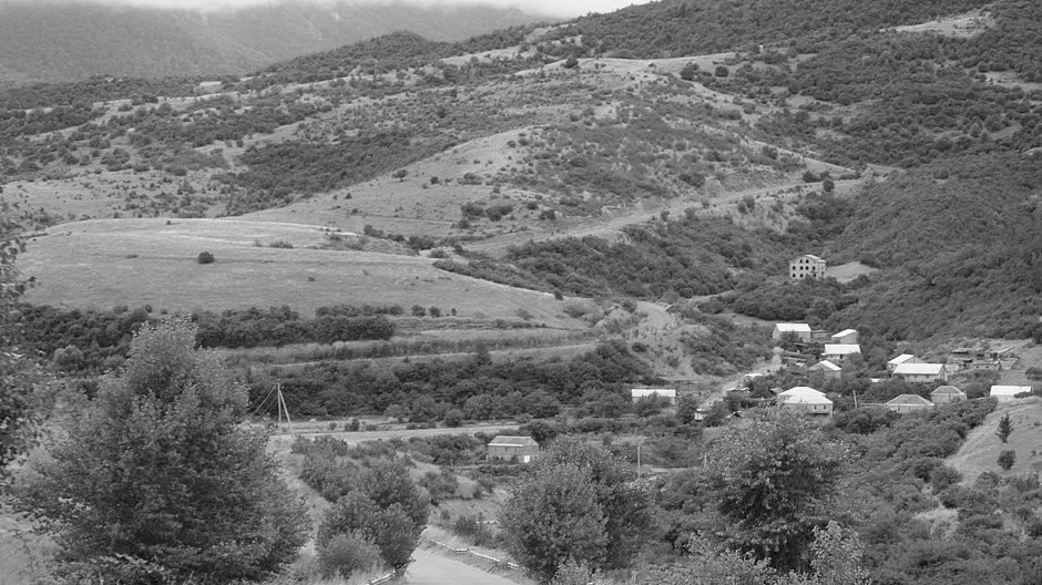
Voskepar, Tavush
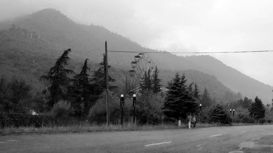
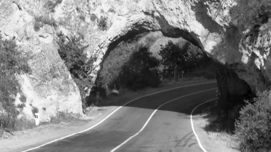
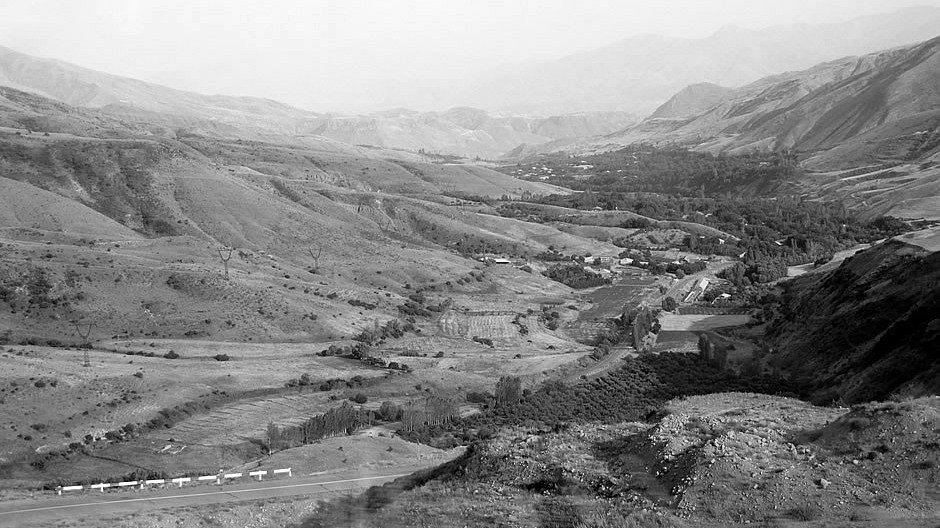
On the M4 between Achajur and Ijevan,Tavush
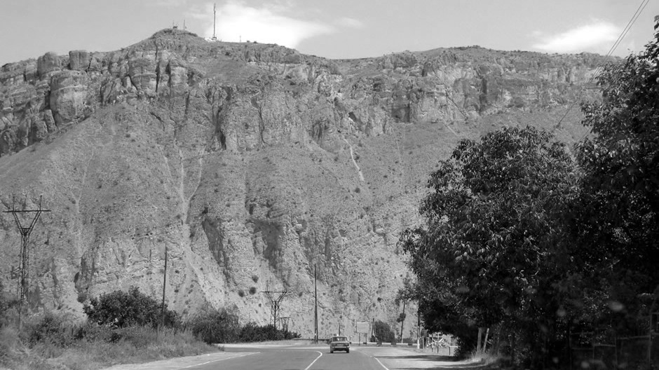
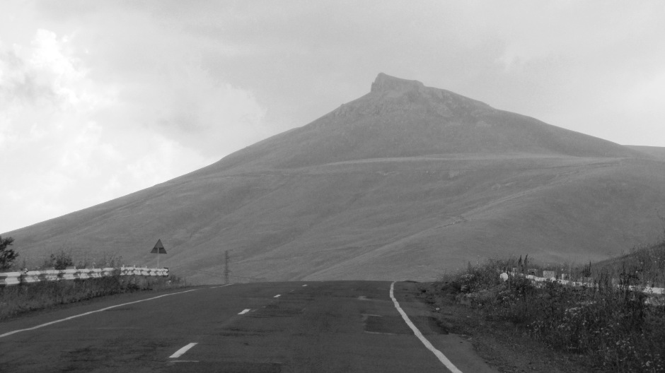
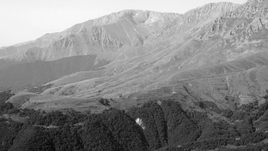
Ascending the Sevan Pass, Tavush
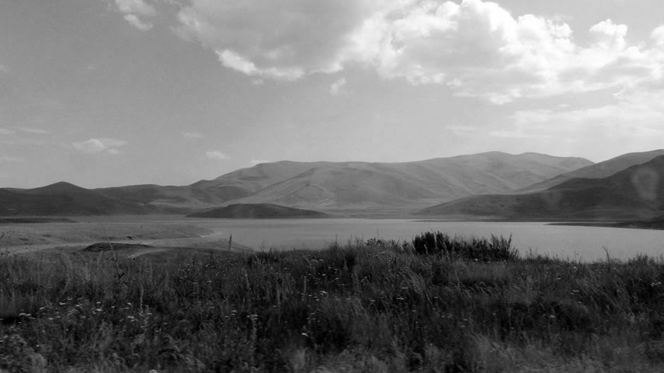
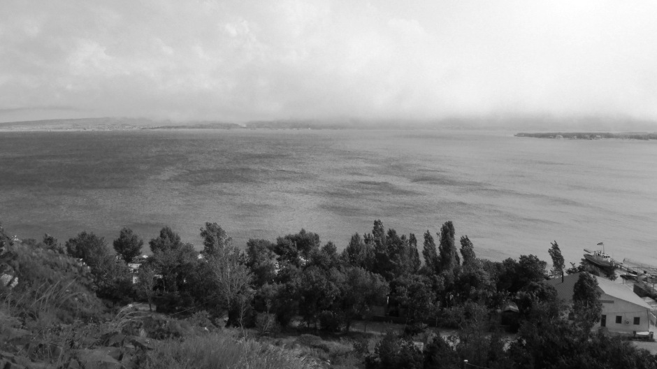
Between Dilijan Tunnel and northernmost shore of Lake Sevan, Gegharkunik
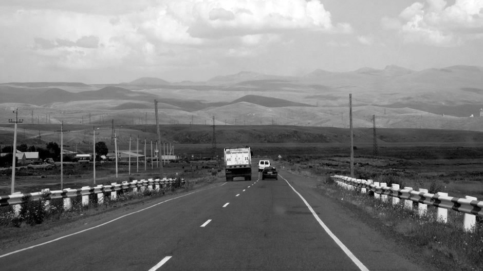
Mountains seen from M4 between Lake Sevan and Yerevan, Kotayk
M4 between Lake Sevan and Yerevan, Kotayk
M2, just east of Tukh Manuk Pass, Vayots Dzor
Descending east side of Vorotan Pass (2344m), Syunik (Armenia's southernmost region)
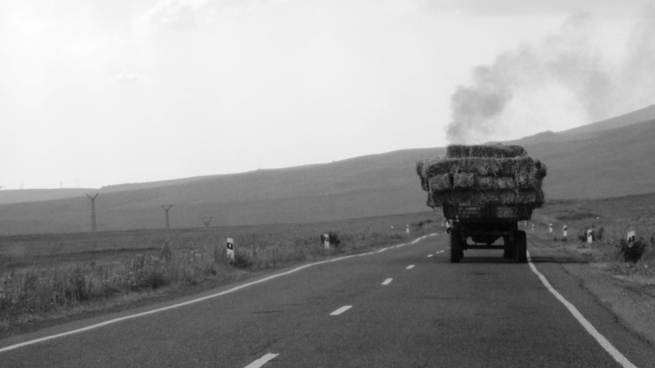
Tractor on the M2, Syunik
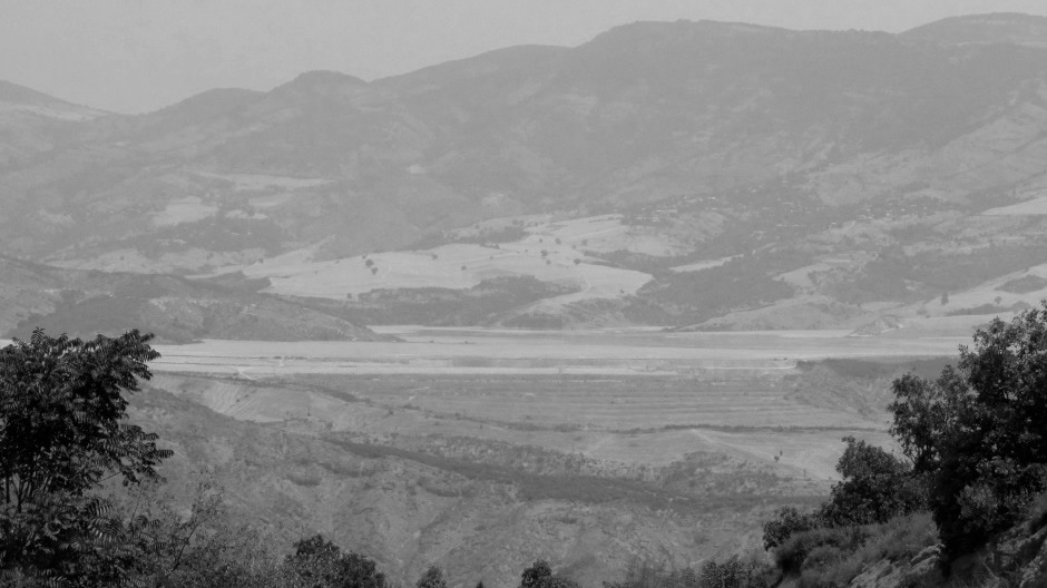
Spandaryan Reservoir, Syunik
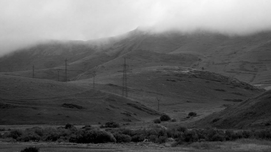
Mountain seen from M2, Syunik/Vayots Dzor area
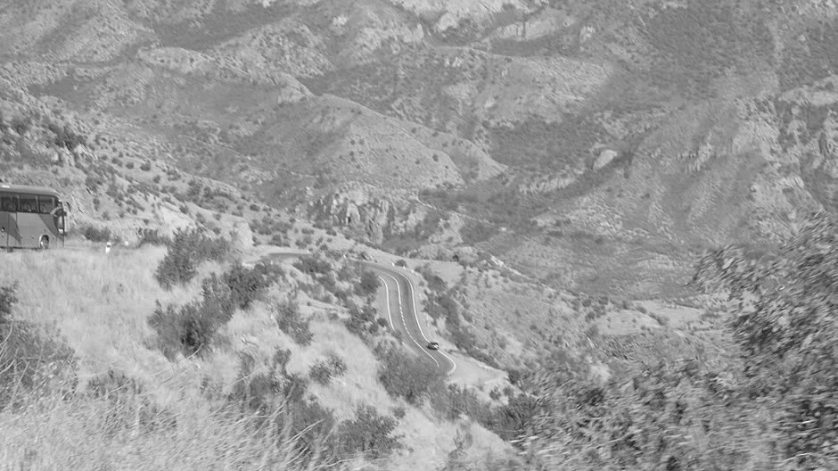
Vorotan Pass (between Goris and Kapan), Syunik
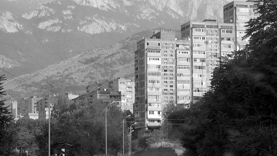
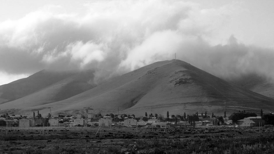
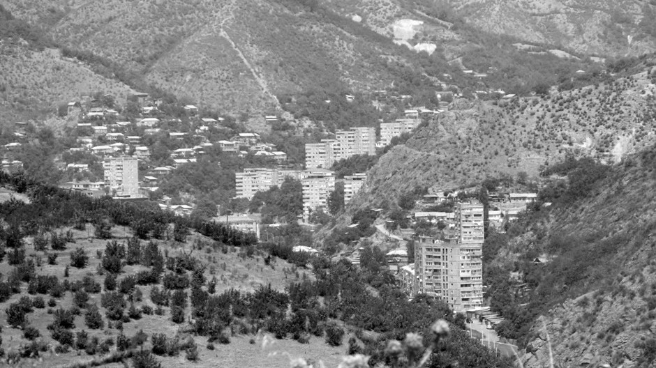
Kapan suburbs, Syunik
Arevik National Park, Syunik
Arevik National Park, Syunik
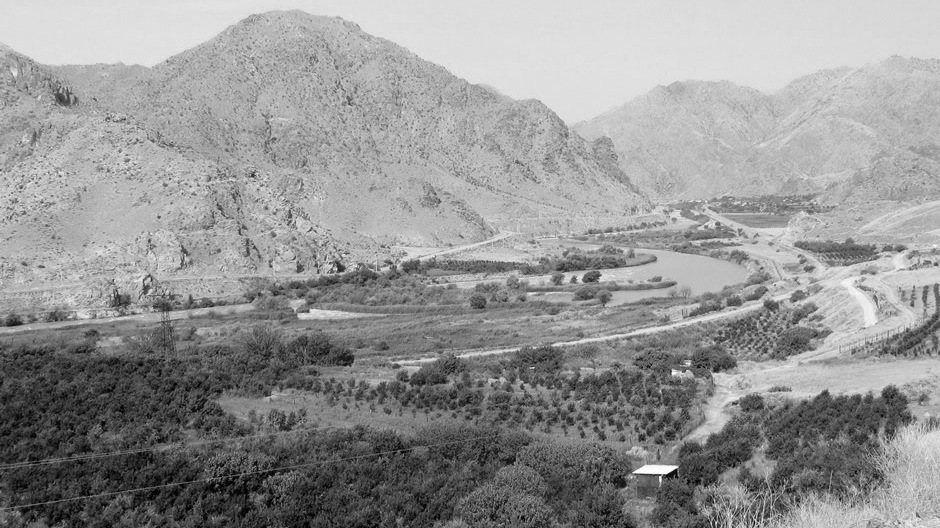
Araz River Valley, Syunik (Iran other side of river)
M2 between Goris and Kapan, Syunik
Kapan suburbs, Syunik
Artsvanik Reservoir, Syunik
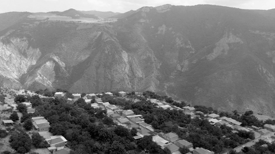
Halidzor village seen fom Wings of Tatev cablecar (Page Here), Syunik
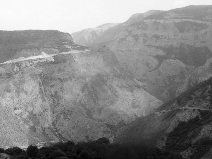
Vorotan River Gorge seen fom Wings of Tatev (Page Here) cablecar, Syunik
Approach to Sulema Pass, Vayots Dzor/Gegharkunik
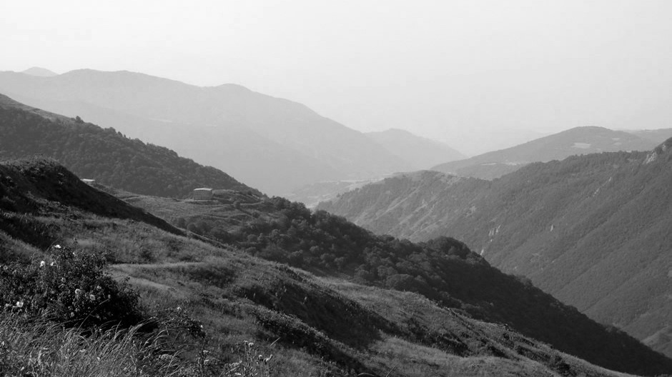
View south from Sulema Pass, Vayots Dzor/Gegharkunik
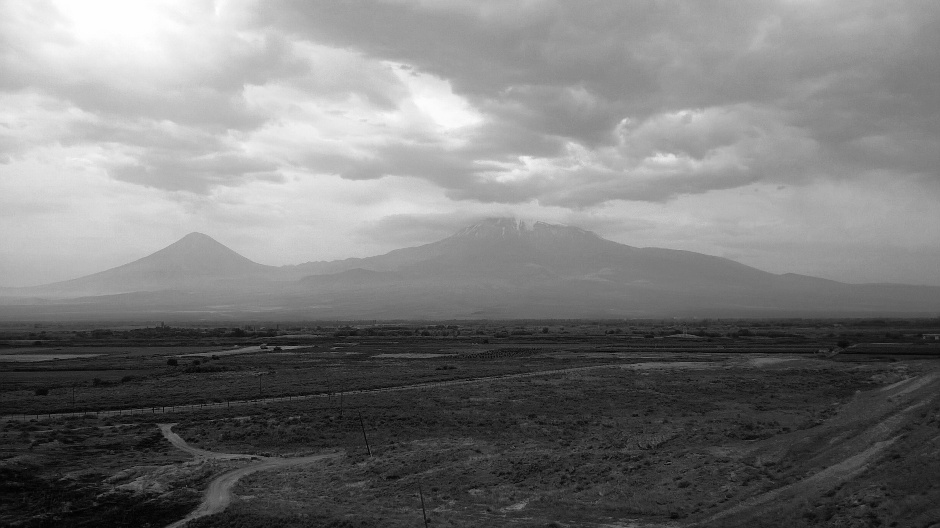
Mount Ararat (In Turkey) from Khor Virap (Page Here), Ararat
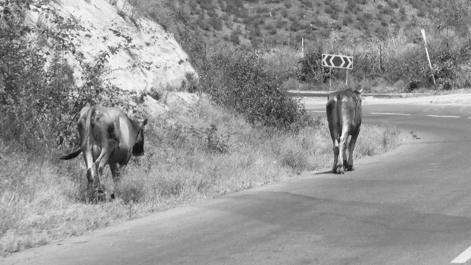
Cattle, Syunik
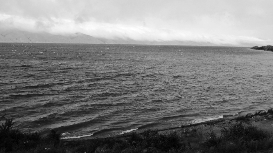
Lake Sevan (Page Here), Gegharkunik
Lake Sevan (Page Here), Gegharkunik
M10, near Lake Sevan, Gegharkunik
If you would like to see any of the above photos in colour, please feel free to contact me.
Back to Top