Golan Heights and Mount Bental/Tal Al-Gharam
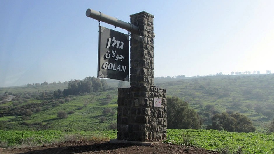
The Golan Heights
The Golan Heights is a region in the Levant area of the eastern Mediterranean, about 690 square miles (1,800km²) in area. The actual term ‘Golan Heights’ refers to different defined areas, depending on the context in which it is applied; as a geographical region, the name Golan Heights refers to a basaltic plateau, bounded by the Jordan River and the Sea of Galilee to the west, Mount Hermon to the north, the seasonal Wadi Al-Ruqqād (a north-south branch of the Yarmūk River) to the east, and the Yarmūk River to the south. As a geopolitical region, the Golan is a narrow strip of land in north-eastern Israel that was captured from Syria and occupied during the Six Day War of 1967 and annexed in 1981 by Israel. It extends roughly 44 miles (71km) from north to south and 27 miles (43km) from east to west at its widest point. This geopolitical region includes the Israeli-occupied part of Mount Hermon, as well as the western two-thirds of the plateau.
A brief history of the area follows. Whilst evidence suggests people lived in the area as early as the Upper Palaeolithic period, the history of the Golan is a long and complex one, and one which has seen the area as a power struggle between people throughout the ages. Throughout the Old Testament period, it was an area of contention between the Kings of Israel and the Aramaeans who were based near modern-day Damascus. The Itureans (an Arab or Aramaic people) settled and lived here from the 2nd century BC until the end of the Byzantine period. Jewish settlement in the region came to an end in 636AD, when it was conquered by the Arabs. In the 16th century, the Ottomans conquered the area which became administered by Damascus until it became a part of the French mandate of Syria in 1918. In 1946, it became part of the newly independent Syrian Arab Republic. Following the Arab-Israeli War of 1948–49, Syria fortified the western crest of the Golan Heights. During the last two days of the Six-Day War in 1967, the Israeli armed forces (after defeating Egypt and Jordan), turned their might towards Syria. An assault was made on the Golan Heights, forcing Syrian defenders and most of the Arab inhabitants to retreat or flee. Syria asked for an armistice and fighting ceased. The result of this was that the heights were placed under Israeli military administration and since then Israel has been creating Jewish settlements in the area. In 1981 Israel unilaterally annexed the area. This is but a brief summary of the history of the area and for further reading, the Wikipedia article may be found Here.
Mount Bental/Tal Al-Gharam
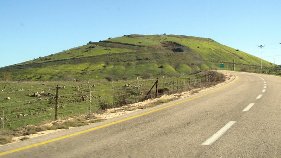
From the top of the Israeli-annexed Golan Heights, southern Syria and Syria’s capital Damascus (about 40 miles (60km) away) are clearly visible. A chain of dormant volcanic mountains span along the eastern part the heights here, starting from Mount Ram in the north and ending on Tal Saki in the south. From here, Israel has a strategically useful vantage point for monitoring Syrian movements, with the topography providing a natural defence against any military threats on the ground from their neighbours. In February 2018, a visit by the author of this webpage was made to the summit of one such dormant volcano, Mount Bental (Tal Al-Gharam in Arabic). Rising some 3,822 feet (1,165m) above sea level in the North-Eastern part of the Golan Heights, a road leads up here to a car park near to a restaurant-cum-café, named in a rather droll manner “Coffee Anan” after the former Secretary-General of the United Nations, Kofi Annan. Also, by the cafeteria and overlooking Syria is an inactive IDF stronghold which was built on an older Syrian stronghold, where it is possible to wander around and inside the structure. With views of the Syrian lands, Mount Hermon and the Golan Heights, the area is marked by several modern artworks - sculptures created out of scrap metal parts and as far as being a visitor attraction is concerned, this border location is surreal, to say the least. Photographs from the visit to Mount Bental are shown in the thumbnail gallery below [Click on an Image to Enlarge]:
Just to the south of Mount Bental is Mount Avital which shares the same volcanic magma source. An Israeli settlement and kibbutz, Merom Golan, is located at the bottom of the Mount Bental’s volcanic crater. Such settlements in the Golan Heights are considered illegal under international law, although this is disputed by the Israeli government. The land around here is fertile, with the volcanic soil used to grow fruit and the land being used to farm cattle. The area around here also provides a catchment area for rainwater, in an otherwise dry region and provides one third of Israel’s water supply; water from here flows into the River Jordan (shown in the later photographs in the thumbnail gallery above).
[Photos: February 2018, Text: 2018]
Related Pages on this Web Site:
Bethlehem
Dead Sea
Jerusalem
Nazareth
Sea
of Galilee (Lake Tiberias)
Back to Top