The photos on this webpage are from a journey by road from the popular ski and summer resort town of Wanaka in the Otago region of New Zealand's South Island along State Highway 6 to the island's west coast. The route passes through the north-eastern edge of Mount Aspiring National Park, the country's third largest, after Fiordland (page here) and Kahurangi (on the northwest of South Island). Although this webpage does not focus on a single destination or destinations, the route is well travelled by anyone touring South Island's main scenic attractions and is certainly one of outstanding natural beauty.
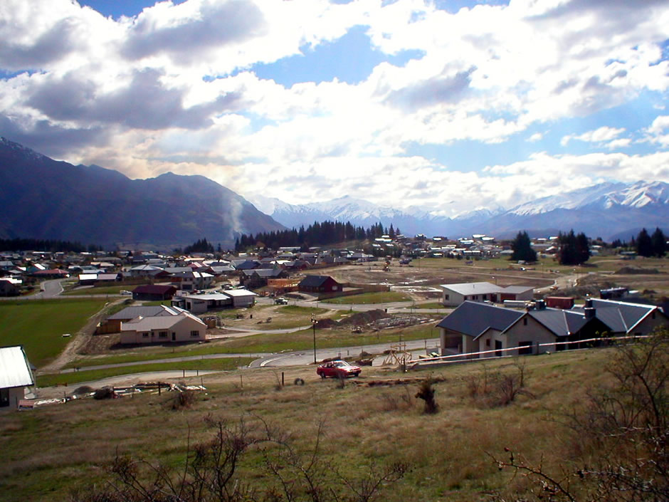
Above: Outskirts of Wanaka, as seen from Mount Iron
Wanaka itself is located at the southern end of a lake bearing the same name and is one of New Zealand's favourite holiday destinations. The lake here is popular here in the summer months for boating activities and fishing, whilst in the winter months, the local ski areas are popular. The surrounding terrain and tracks in the nearby Mount Aspiring National Park make the area also popular with walking and hiking (or tramping, as it is known in New Zealand). Attractions in Wanaka itself include the New Zealand Fighter Pilots Museum, the Wanaka Transport Museum, Stuart Landsborough's Puzzling World (see below) and the nearby Rippon Vineyard.
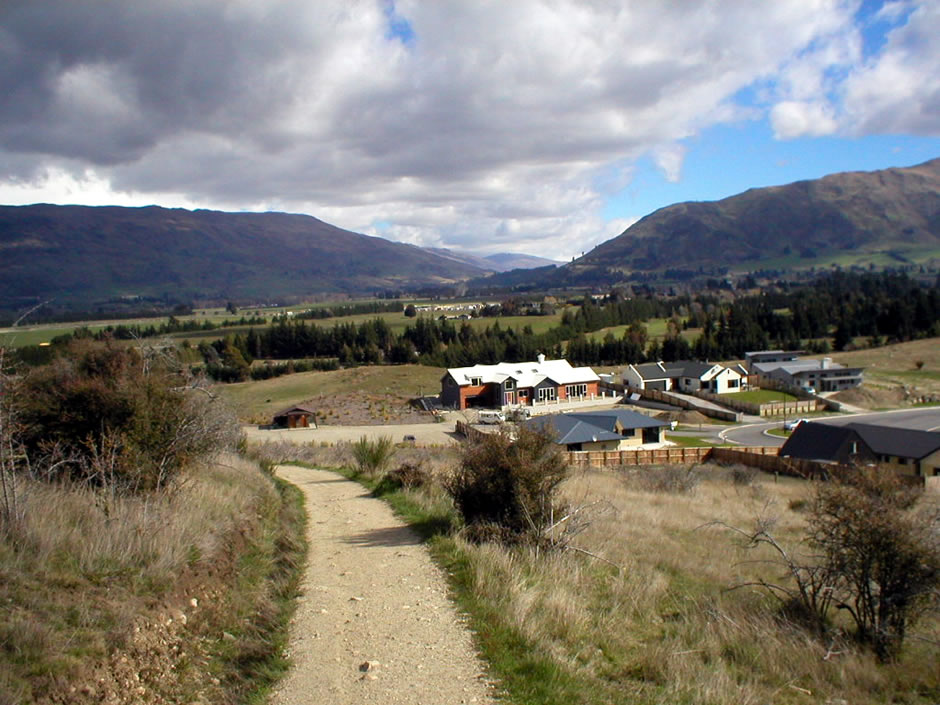
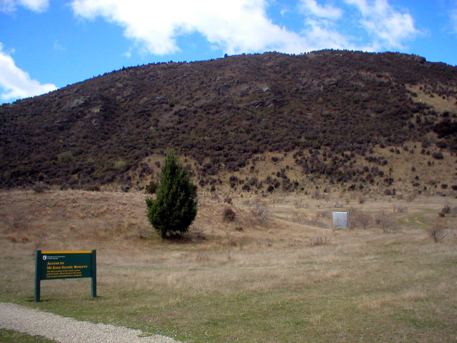
The two photos above are from a stop at Mount Iron Scenic Reserve, close to Wanaka. Mount Iron is a prominent glacier carved, rocky knoll that rises nearly 250m above the adjacent countryside and it's summit provides a 360° panoramic view of the surrounding mountains, the Upper Clutha Basin and Lake Wanaka. The summit is reached by a popular loop walk which is suitable for a wide range of ages and abilities and accessed via a car park.
Map: Courtesy of Openstreetmap.org
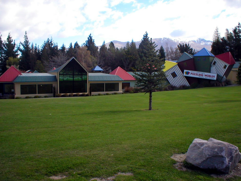
Stuart Landsborough's Puzzling World (above) is on the opposite side of the road from Mount Iron. This attraction began life as just a single level maze in 1973. Over the years, it expanded to include over-bridges within the maze design, thus creating the world's first '3D' maze. Many other attractions which were assed include optical illusion rooms, the Leaning Tower of Wanaka which has a backwards clock and a large 'puzzling cafe'.
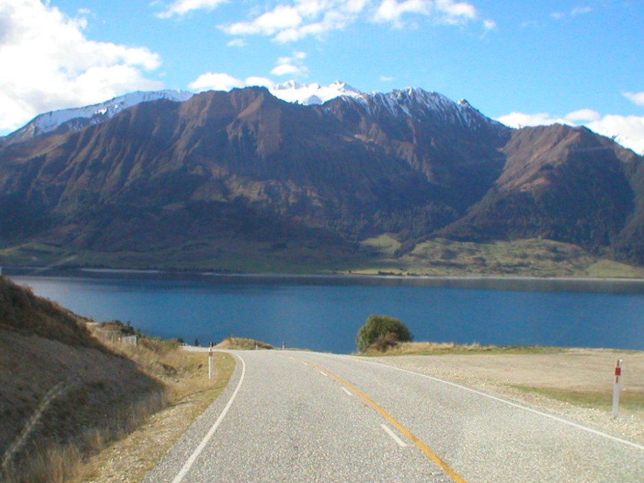
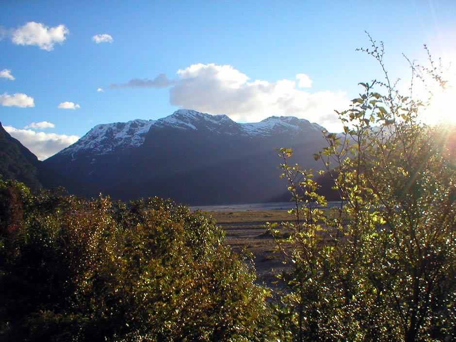
Travelling northwards from Wanaka, State Highway 6 runs to the settlement of Lake Hawea, at the southern end of a lake of the same name. The highway follows the Lake Hawea, which can be seen to the right for some distance, until it then turns approximately westwards towards Lake Wanaka. The highway then follows lake Wanaka for some distance, this time with lake views to the left (still driving northwards). The highway then passes the settlement of Makarora and as mentioned earlier, runs through Mount Aspiring National Park. Mount Aspiring National Park has World Heritage status as part of the Southwest New Zealand World Heritage Area, which runs from Mount Cook down to the southern tip of Fiordland. The National Park is some 3,500km² (1,350 square miles) in area and its scenery includes snow-capped mountains, glaciers, bare rock faces, forested valleys and river flats. Popular with walkers and hikers, exploring on foot can entail anything from a short (and usually well laid out by the Department of Conservation) walk from the roadside to much longer off-road walking tracks. Not all of the park is readily accessible though; the Olvine Wilderness Area, which forms the heart of the park, is kept in an underdeveloped state for wilderness recreation and has no tracks. At a height of 3,027m (9,931 feet), Mount Aspiring itself is pyramidal in shape and consequently often referred to as New Zealand's 'Matterhorn'. The park is also known for its birdlife, with some 51 species which include 38 which are native.
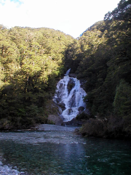
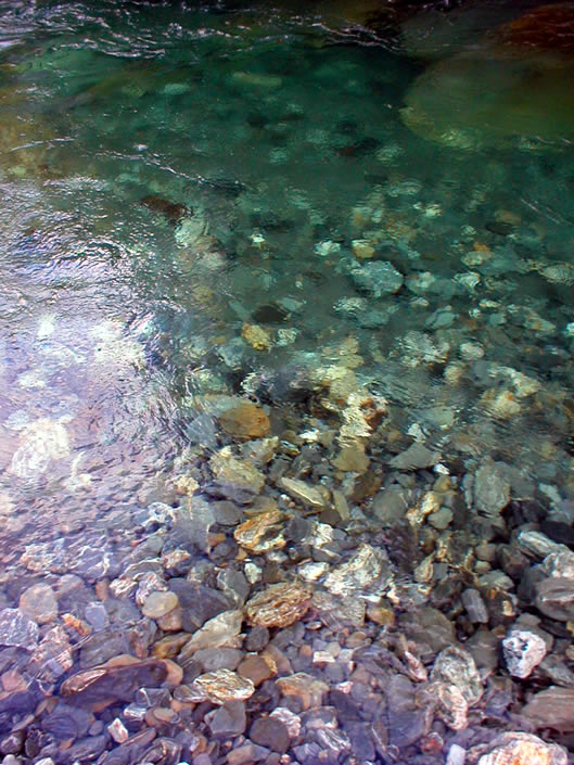
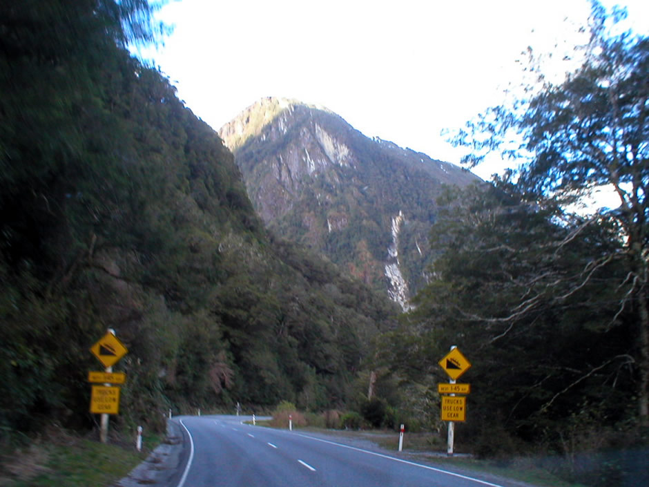
The three photos above were taken at a stop along the highway in Mount Aspiring National Park at Fantail Falls. Here is a 23m waterfall, which drops into the clear waters of the Haast River. The waterfalls lookout is easily accessed via a 10-minute return walk from a car park by the side of the road. The path takes the visitor to the opposite side of the river from the falls themselves, although they are easily viewed from here. However, it is possible to cross the river to the falls, with care, and walk right up to their base. A little bit further along the highway, the route passes through The Gates of Haast. Here, the road runs over a bridge where the Haast River thunders down a steep-sided gorge, carpeted with boulders.
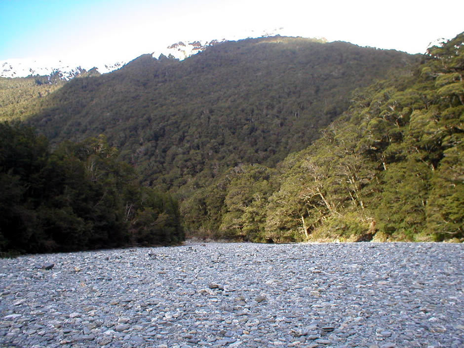
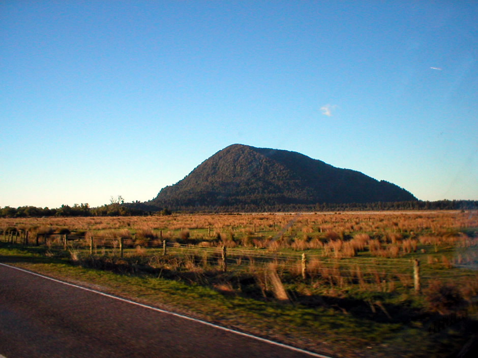
The photo above shows the Haast River, named after Julius von Haast. After running straight through the north-eastern section of Mount Aspiring National Park, State Highway 6 takes a turn and continues to follow the river on its left bank in the direction of Haast Village. The river is responsible for draining the western watershed of the Haast Pass and is 100km long. Grassy flats on its lower reaches are used by farmers for grazing by their cattle. The water may typically contain glacial silt which is brought down from the glaciers of the Southern Alps.

Just after the turnoff to Haast Village, and near the coast, where the Haast River empties into the Tasman Sea, State Highway 6 crosses a long single lane bridge over the river (shown in the photo above). The bridge is 737m (2,418 feet) long and is the longest single-lane bridge in New Zealand, and the 7th longest bridge in the country overall. Single-lane bridges are a common sight in these parts and can easily be transported along two lane roads, to where they are needed. After crossing the bridge, State Highway 6 then continues towards the nearby West Coast, where it then heads in a north-easterly direction, following close to the shores of the Tasman Sea.
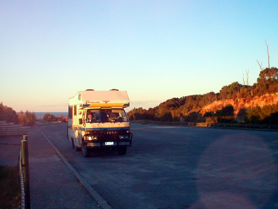
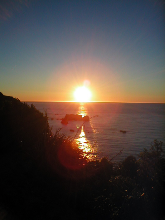
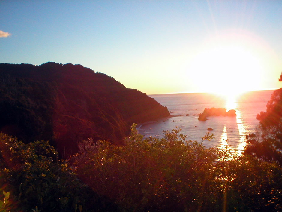
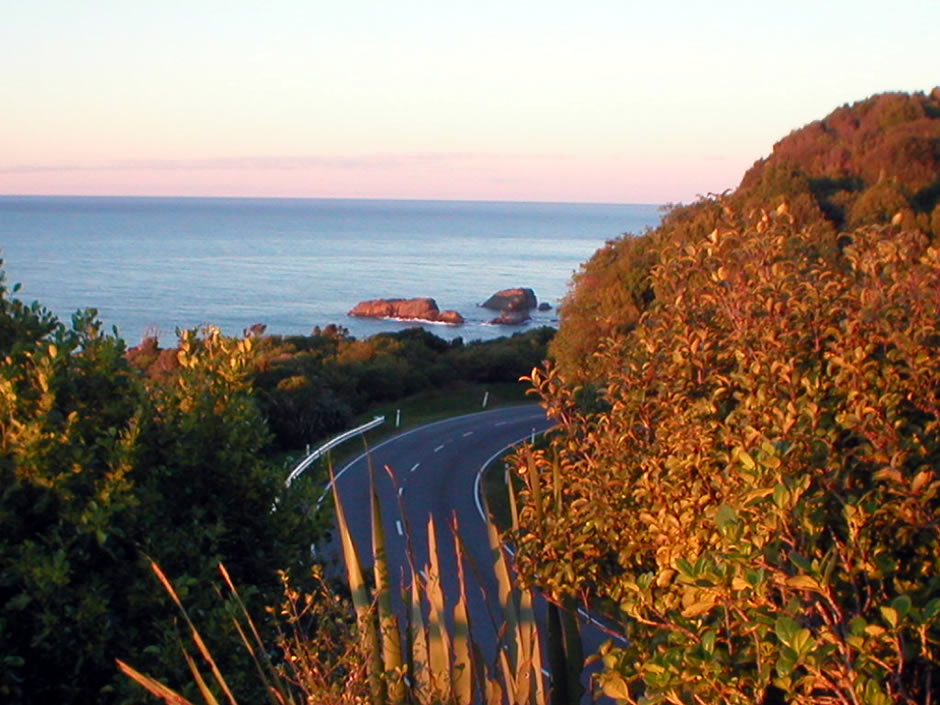
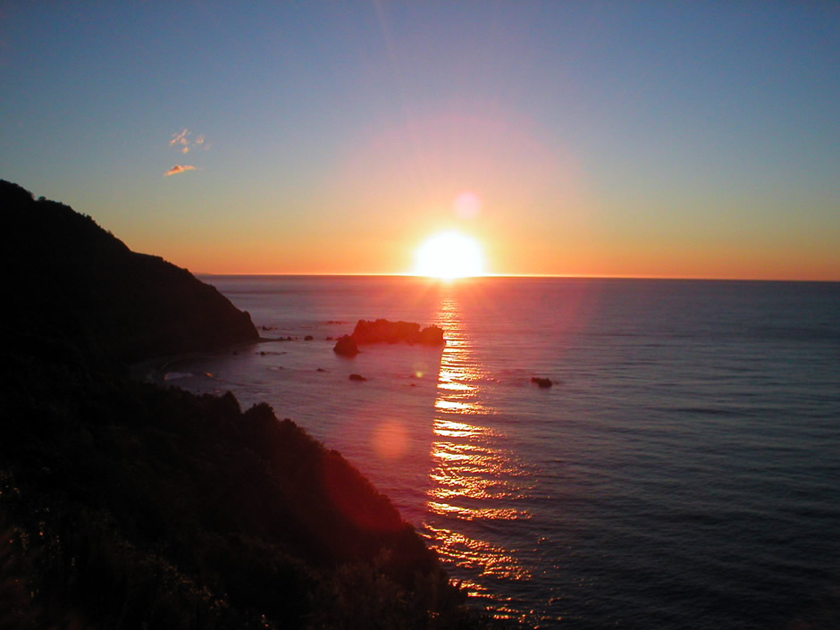
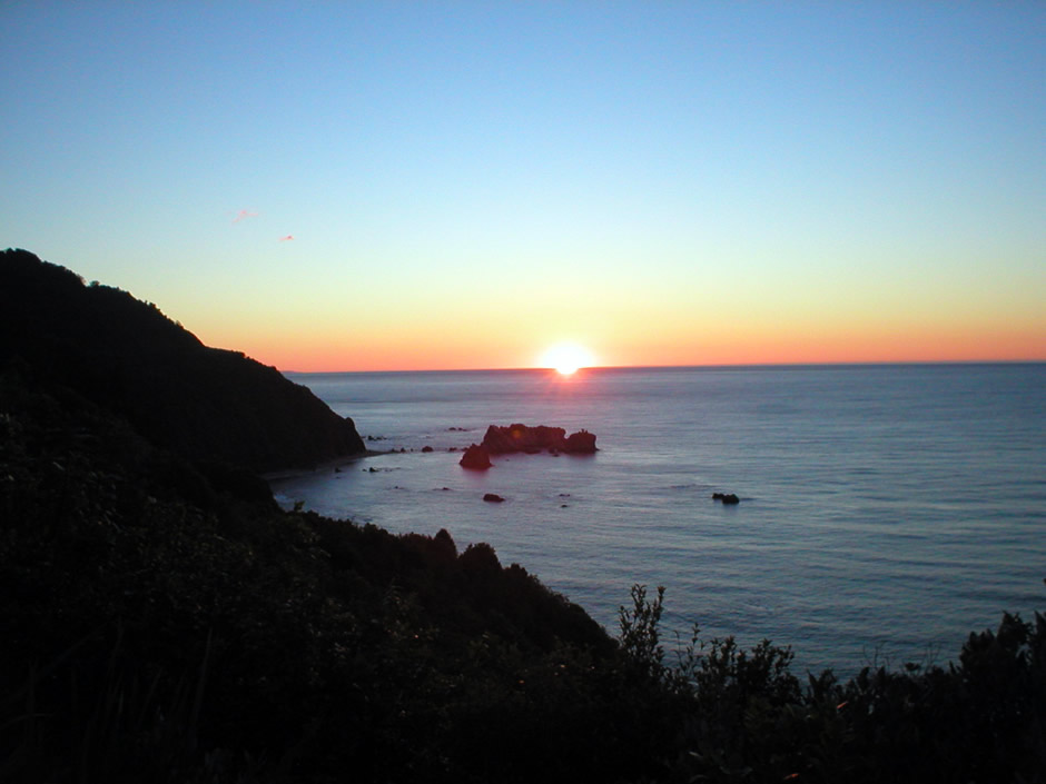
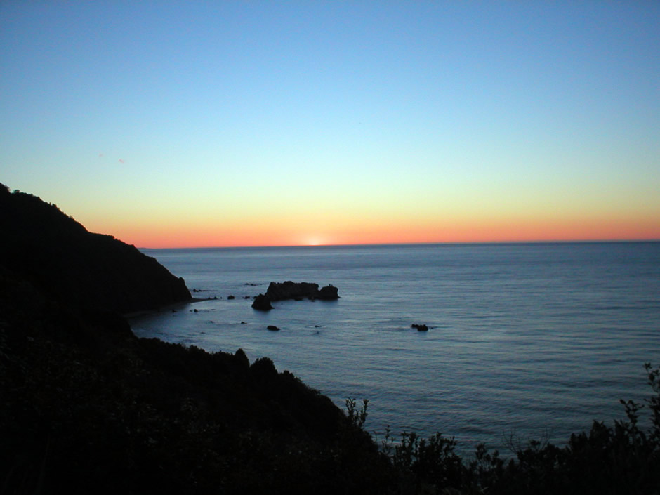
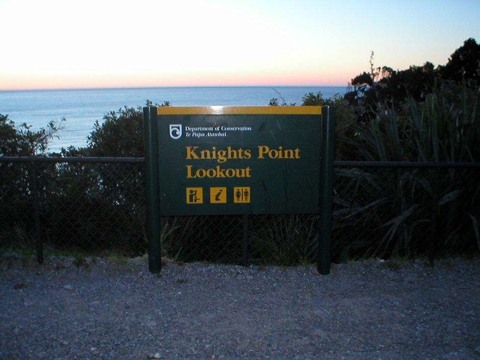
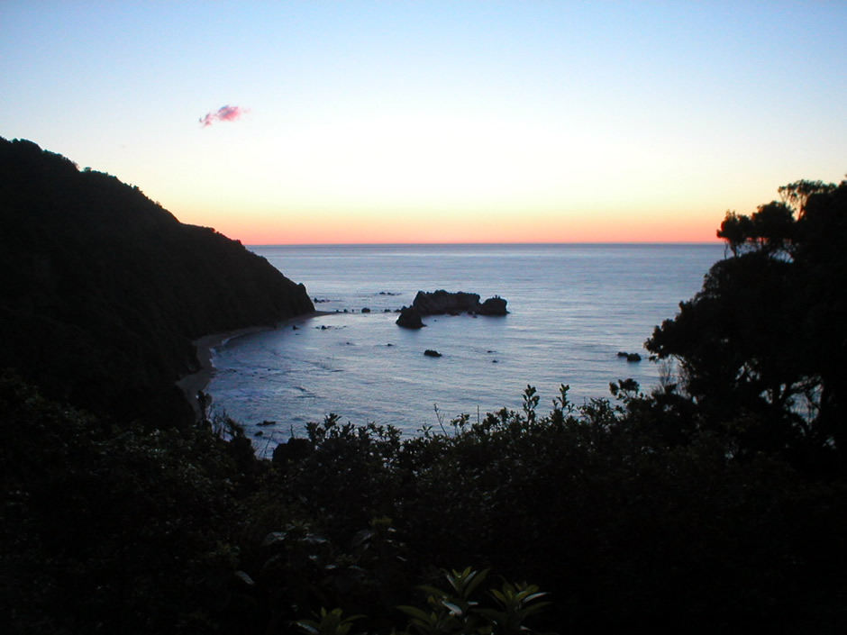
The final photos above taken along this particular section of State Highway 6 were taken at sunset at Knights Point Lookout. A perfect spot for an overnight stay in the campervan, Knights Point overlooks the Tasman Sea on the islands West Coast. From here, it is possible to see Arnott Point which is a resting area for New Zealand fur seals and sometimes elephant seals. As well as offering a stunning scenic view, this particular spot has a historic significance with respect to the development of South Island's infrastructure. During the 1950's, a major project was underway for the construction of a road from the South Island's east coast, across Haast Pass and up the west coast to join the road that terminated at Ross. One construction crew followed the road building along the route followed on this webpage, namely to the Haast River and on to the West Coast via the newly built bridge, described above. A second construction crew paved the way for the new road from Ross southwards. It was here at Knights Point, the two teams met, thus completing the road. It was hoped by officials from the Ministry of Works to name this spot after one of their senior officials. However, the construction crew beat them to it and had already named it Knights Point, after not a person, but the surveyor's dog. The official opening of the last section of the highway was in November 1965. During the visit featured here, the lookout point entailed a car park and viewing area, although today, an obelisk monument here celebrates the completion of the highway that connects Westland with Otago.
There are several other places worth stopping off along the route described on this webpage, including Makarora Gorge, Mount Brewster (a popular camping and climbing spot) and the 30m (98 foot) Thunder Creek Falls (along a short forest track from the highway), but like much of this incredible landscape, it's all a question of available time. One thing can be certain though, with the beautifully laid out walks maintained by New Zealand's Department of Conservation and the multitude of picnic sites, by stopping off at different places, another trip would be equally as enjoyable.
Back to Top