To the Roof of Europe
|
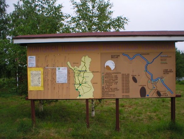
An observation from the legend in my Finnish road atlas, “Tiekartasto Suomi-Finland”, marked the following terrain information: 1. Brown = Populated area 2. Beige = Field 3. Dashed blue lines = Bog 4. Light Yellow = Barren fell 5. Blue with number = Water with height above sea level (m) There is nothing in the atlas denoting forest. I only assume the folks at Karttakeskus OY, the publishers, decided to save on green ink. We had a very long drive through the forests with the occasional log cabin on the way. Where do they shop when miles from nowhere? “Oh bugger, I forgot the fish bait!”. At a place called Enontekiö, instead of taking road 93 onwards, and shooting down the E8 branching off to Rovaniemi we took a more scenic route on road 956 bypassing a number of National Parks. With nowhere to stop and now my stomach was playing up, we had to make an impromptu halt on the side of the road. I dashed into the woods and the mosquitoes were biting my backside to bits – 1000’s of them. Why would people want summer houses there, when one short trip outside reduces your head to the appearance of a discarded apple core? We eventually found a small field with 2 toilets at a place called Tepasto. |
|
 |
|
|
Page 22 Previous Page | Next Page |