To the Roof of Europe
|
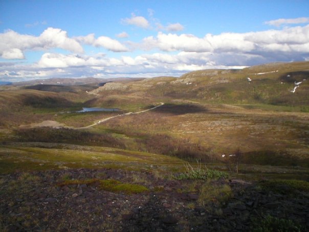
Time to press on. Mysteriously as we headed north from Lakselv, the E6 road reappeared. It appears that the 98 road takes a shorter route than the E6 but diverts itself via Karasjok, a village which appears from my road atlas, “Veiatlas Norge”, has an abundance of amenities and is the seat of the Sámediggi, the Sámi Parliament in Norway, located there. Also, looking at the map, the E6 appears to be a more sheltered route, with respect to being further inland and surrounded by a higher percentage of forest. The E6 continued northwards largely snaking its way along the spectacular Porsanger fjord until we branched off onto the E69 at a place called Olderfjord. Again, hugging the Porsanger fjord along the route with the exception of a few tunnels. We were now well on our way to the North Cape of Norway – the roof ofEurope, so to speak. North Cape is located not on the mainland but on the island of Magerøya, which used to involve a ferry crossing, but now it is accessible via the North Cape Tunnel, a sub-sea road tunnel under Magerøysundet from the Norwegian mainland to Magerøya. The tunnel was built between 1993 and 1999, is 6,875 metres long, and reaches a depth of 212 metres below the sea level. We had covered a great distance that day and headed for a campsite at a place called Skipsfjord. This would be our base for three nights. We pitched the tents and as it was only 10pm by now, decided to head straight off for the 25km or so drive to the North Cape. |
|
 |
|
|
Page 13 Previous Page | Next Page |