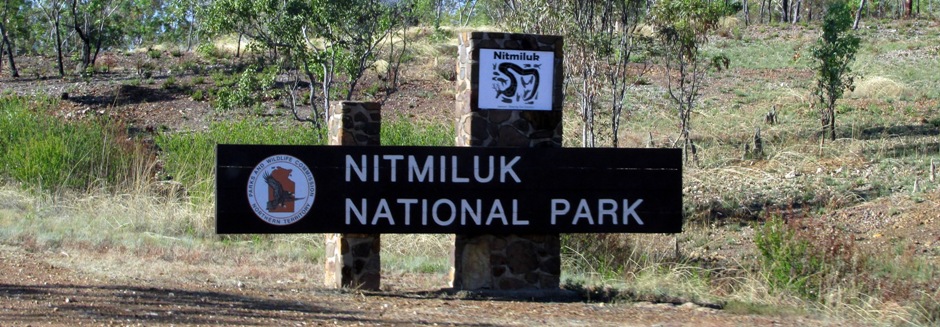
Nitmiluk (Katherine Gorge) National Park
Nitmiluk (Katherine Gorge) National Park lies near the township of Katherine, 312km south of Darwin, in Australia's Northern Territory. The park is some 2,920 km² and includes broad valleys and a series of 13 gorges carved through sandstone plateaux over millions of years.
This series of gorges form Nitmiluk (Katherine) Gorge, the National Park's most popular site. Katherine was named after the daughter of James Chambers by the explorer John McDouall Stuart in 1862; Chambers was one of his expedition sponsors. The area was named Nitmiluk, which means 'cicada place', in 1989 when the traditional owners, the Jawoyn Aboriginal people, gained title to the land. As you approach the main visitor's centre at Nitmiluk (Katherine) Gorge, a sign greets you with Mam-gun Mungguy-wun lerr-nyarrang Nitmiluk - "Welcome to Jawoyn Land; Sharing our country...".
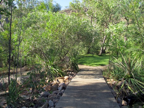
The photo gallery above shows Nitmiluk (Katherine) Gorge, about 30km from the township of Katherine - the park contains only a few access roads and so to see the gorge, there are a number of options. Boat cruises are popular, whilst canoeing is very much possible (although not always permitted if crocodiles are known to be in the area). Helicopter rides can also be organised here, but the cheaper option is walking. From the visitors centre, there are two walks to take. Both walks are at the western end of the gorge system and escarpment and take in the Baruwei Lookout, a platform atop the gorge. Firstly, the Baruwei Lookout Walk (1.8km return, grade 3 - moderate, 1 hour) provides views of the picnic area, the gorge and 17 Mile Valley. The second walk to take, featured in the photos above, is the Baruwei Loop Walk (4.8km, grade 3 - moderate, 2 hours) which continues on from the lookout along the escarpment and back down towards the visitors centre. Both walks give a taster for Nitmiluk's fine network of much longer bush walks which may be undertaken by more dedicated walkers. Not long after leaving the visitor centre, the path leads to a riverside area where a colony of flying-foxes (bats) can not only be seen, but heard. It is possible to see them close up as you walk under the trees where they are hanging from.
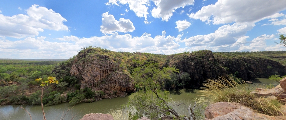
Above: Composite image of the gorge taken from the path leading up to Baruwei Lookout
On the ascent to the Baruwei Lookout, a number of signs inform the visitor about Jawoyn Aboriginal stories from the 'Dreamtime' or Burr/ Buwurr, including how Nitmiluk got its name, how the death of Nabilil, a dragon-like creation being from the Jawoyn Dreamtime created the flowing water which forms the Katherine River we see today, Bula (a creation being who first created the land) and Bolung (the Rainbow Serpent who is a life giver and destroyer). In the main part, the climb up to the lookout is assisted with steps and rails, but not in its entirety.
 |
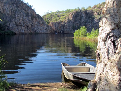 |
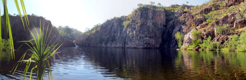
The photos above are of Leliyn (Edith Falls. Approximately 40 km northwest of Katherine on the Stuart Highway, there is a turn off to this popular site. Here, is found a place for swimming, scenic walks camping and for picnics. Access becomes more restricted during the wet season (December to April) when the trail and pools are closed due to high water levels and strong currents. The popular large lower pool (shown in the photos here) is just 150m from the parking area; the upper pools require a longer walk. from the parking area, the Leliyn Trail is a moderate loop walk of 2.8km with a steep climb that provides views of the upper and lower pools whilst further afield and for those with more time, a more challenging 8.6km return walk takes the visitor up to the Sweetwater pool. The even more adventurous (and experienced), whom wish to explore Nitmiluk National Park further, can take the Jatbula Trail which runs all of the way from here to the Nitmiluk (Katherine) Gorge - it is recommended for walkers wishing to undertake this trail to plan for a minimum 5-day walk without any facilities along the route. Flora and fauna to be found at Leliyn includes Fern-leaved Grevillea and the Bush Stone curlew.
References and Further Reading
1. Top End National Parks (Map with visitor
information). Hema Maps Pty Ltd.
2. In situ public information boards
3.
Nitmiluk Walks at Northern Territory Government information and services
Here
4. Rawlings-Way, C., Worby, M. and Brown, L. (2013). Central
Australia. Footscray, Vic.: Lonely Planet.
Back to Top