


Some photos and text from a couple of nights in Kent follows. The places visited were mostly brief stops whilst driving around mainly coastal locations:
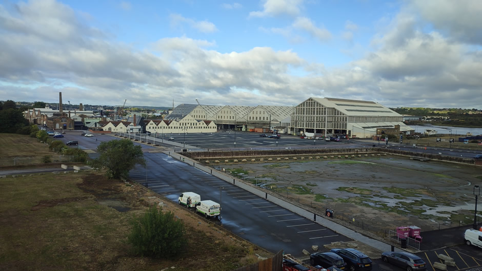
The first day was spent visiting relatives in Surrey and then driving over to Kent. Two nights were spent at the Travelodge in Chatham. There was a great view out of the window of The Historic Dockyard Chatham (shown below). This award-winning maritime museum is situated on 80 acres of a former Royal Navy facility. Having operated as a key military facility for over 400 years until closing in 1984, it is widely recognised as the world's most complete and well-preserved dockyard from the Age of Sail. Today, it functions as a prominent cultural attraction, housing three historic warships, a working Victorian rope factory, and extensive museum galleries.
The first stops on day 2 were in Whitstable, a coastal town in Kent known for its working harbour, colourful beach huts and long shingle shoreline. Its identity is closely tied to the local oyster industry, and the town’s independent shops and seafront paths give it a relaxed, traditional character. The purpose of this visit was to spot some of the filming locations from Whitstable Pearl, a crime-drama series set in the town The series followed Pearl Nolan as she runs a seafood restaurant while investigating cases as a private detective. The show blends local scenery with character-driven mysteries, using Whitstable’s harbour, beaches and cafés as atmospheric backdrops. Some photos follow:
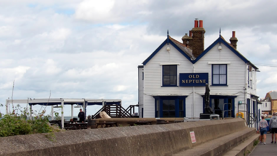
Above: The Old Neptune pub, known locally as "The Neppy", sits directly on the shingle and is used as a recognisable backdrop for character meet-ups and local life moments.
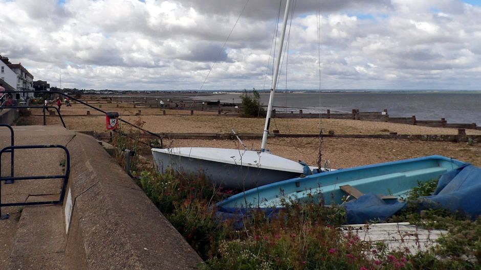
Above: Whitstable Beach Front - The beach front provides many of the show’s atmospheric coastal walk scenes, giving the series its open-sky seaside mood.
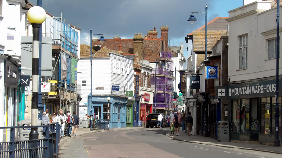
Above: Whitstable’s High Street appears frequently in street scenes, showcasing the independent shops and colourful storefronts that anchor the town’s identity.
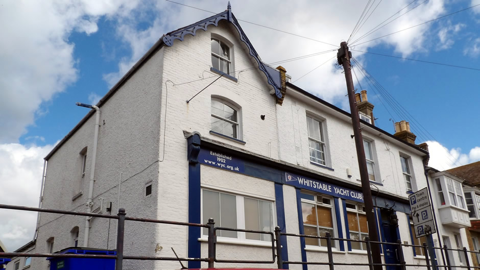
Above: The Yacht Club contributes to the show’s maritime feel, with sailing activity and shoreline views reinforcing the coastal setting. It serves as one of the show's absolute core filming locations, doubling as the exterior of Pearl Nolan's famous seafood restaurant, albeit on the other side of the building as seen in the photo.
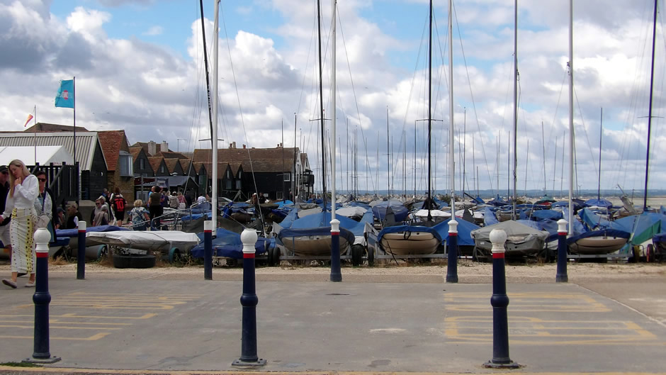
Above: Whitstable Harbour features prominently as a bustling working location, adding boats, stalls and harbour life to several exterior sequences.
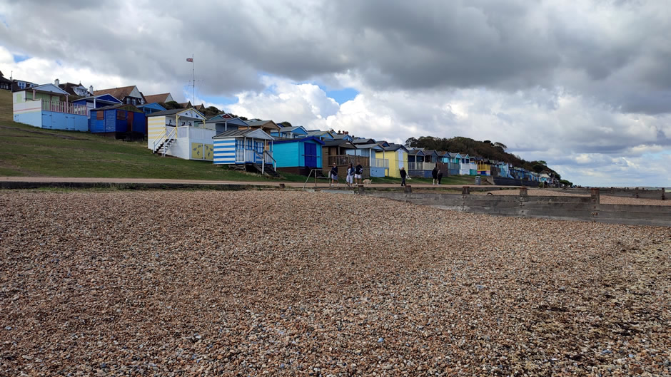
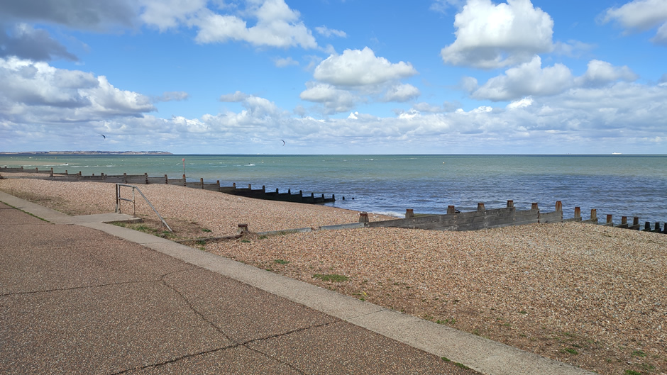
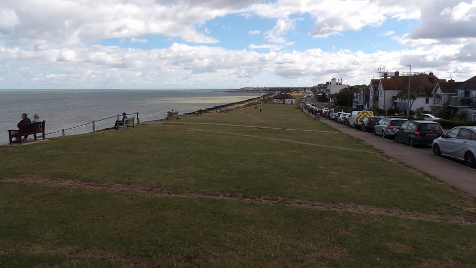
Above: Tankerton Bay Beach Huts - The brightly painted beach huts at Tankerton Bay are used for visually distinctive shots, especially around the slopes and the long coastal views.
The Maunsell Forts seen from Whitstable’s coast and Sheerness (below) form part of the Second World War offshore defence structures. The Maunsell Forts in the Thames Estuary were primarily built as anti-aircraft gun platforms and naval defences to protect London and its shipping lanes. Designed by civil engineer Guy Maunsell and built in 1943, their rusted towers now form a striking silhouette against the sky.
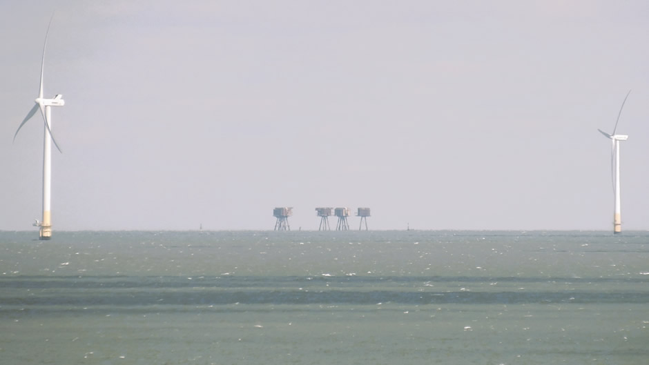
Maunsell Forts seen from Whitstable
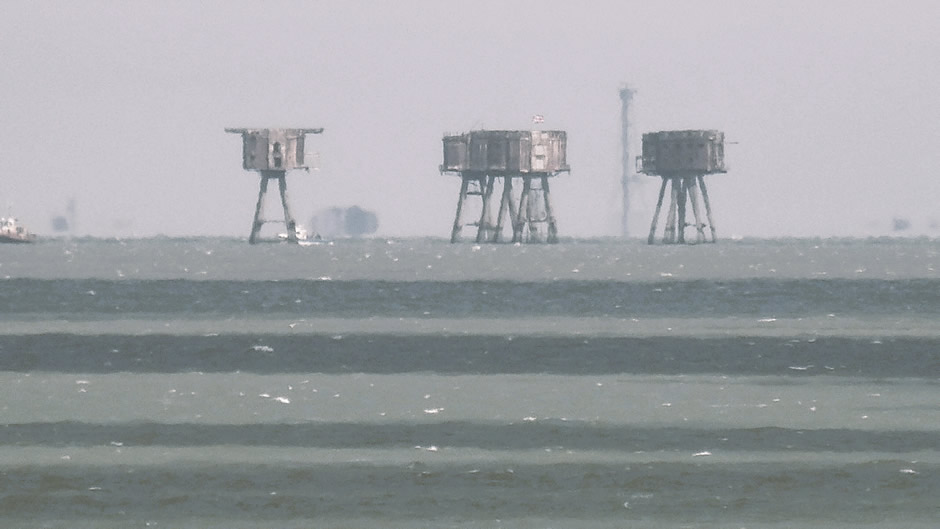
Maunsell Forts seen from Whitstable
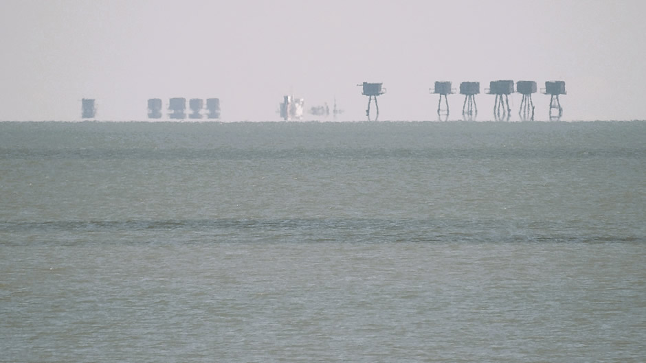
Maunsell Forts seen from Sheerness
The next stop was at WonderWorks, Margate. WonderWorks is an interactive visitor attraction housed in the former Hornby building, showcasing the creative worlds behind model and toy brands such as Hornby, Airfix, Scalextric, and Corgi. Its exhibits highlight how models are designed, engineered, and produced, offering hands‑on displays that appeal to families and hobby enthusiasts. The brands have long been part of Britain’s hobby and collectibles industry. The company’s Margate site has served as a base for design, development, and heritage displays, linking the town with decades of model‑making history. A selection of photos taken from the visit follows:
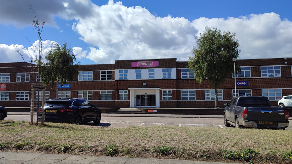





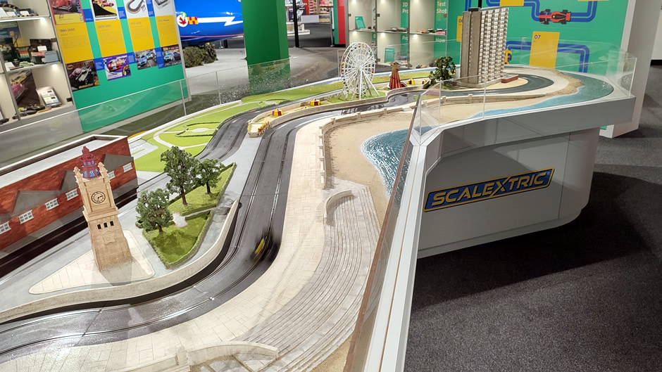


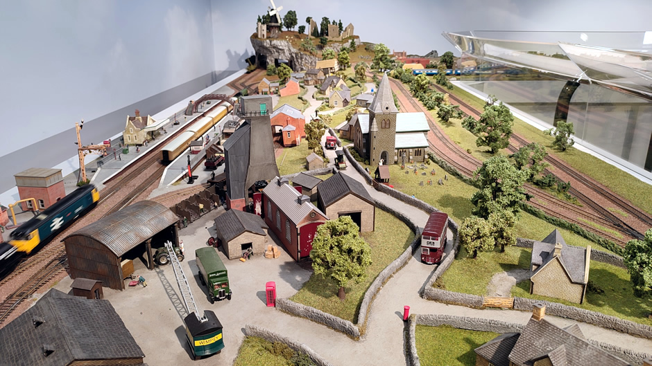
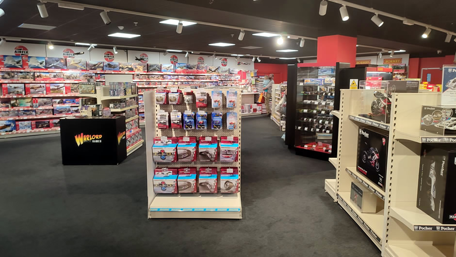
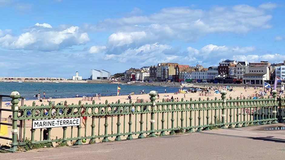
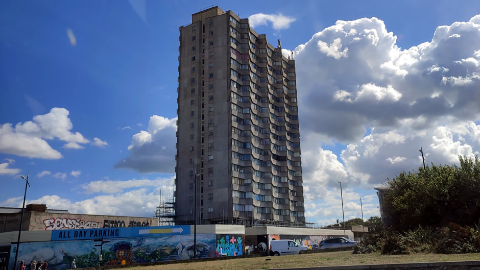
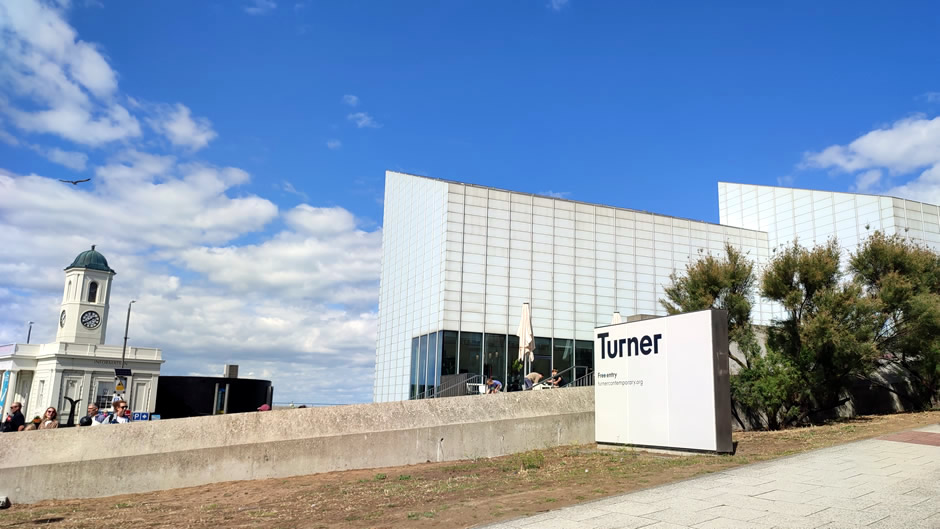
The day continued with a drive through Margate and Ramsgate. Margate is a seaside town known for its sandy beach, historic harbour, and growing arts scene centred around the Turner Contemporary:
Ramsgate is a harbour town with a Royal Harbour designation, recognised for its marina, maritime heritage, and sheltered waterfront:
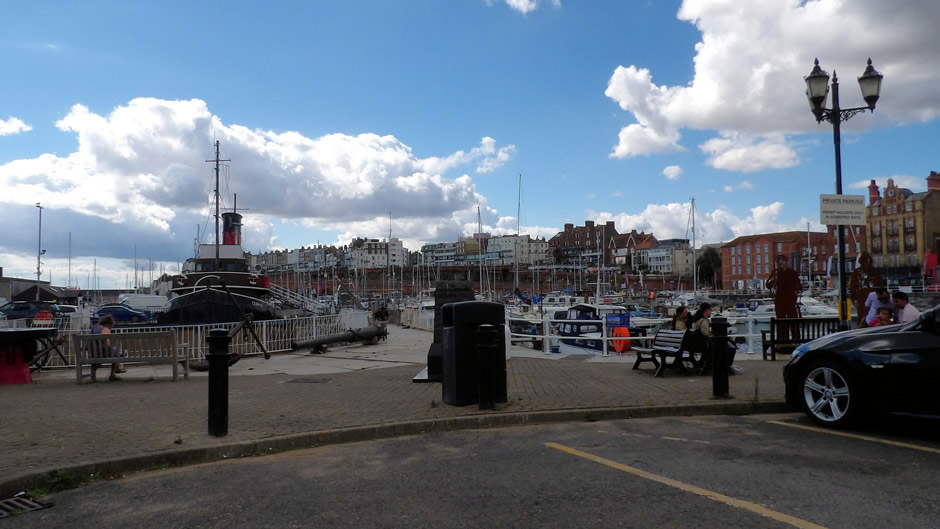
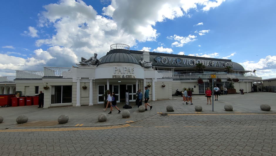
Above: The Royal Victoria Pavilion in Ramsgate, Kent, is the largest Wetherspoon pub in the UK, encompassing approximately 16,500 square feet of customer space with a capacity of up to 1,800 people.
The next stop was at St Margaret’s Beach, which sits beneath towering chalk cliffs near Dover, creating a dramatic coastal setting with a sheltered shingle shoreline. The beach is overlooked by South Foreland Lighthouse and is popular for its scenic walks, rock pools, and views across the English Channel. An important note for visitors is that due to the local geography, anyone without European roaming access on their mobile phones should turn them onto flight mode as at this location, it is common to inadvertently be connected to a French network!
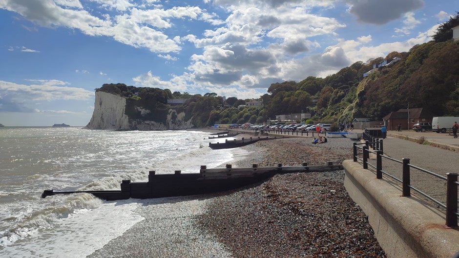
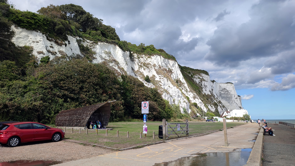
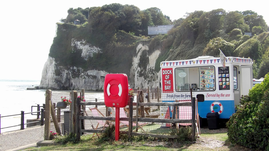
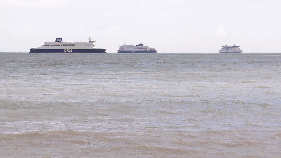
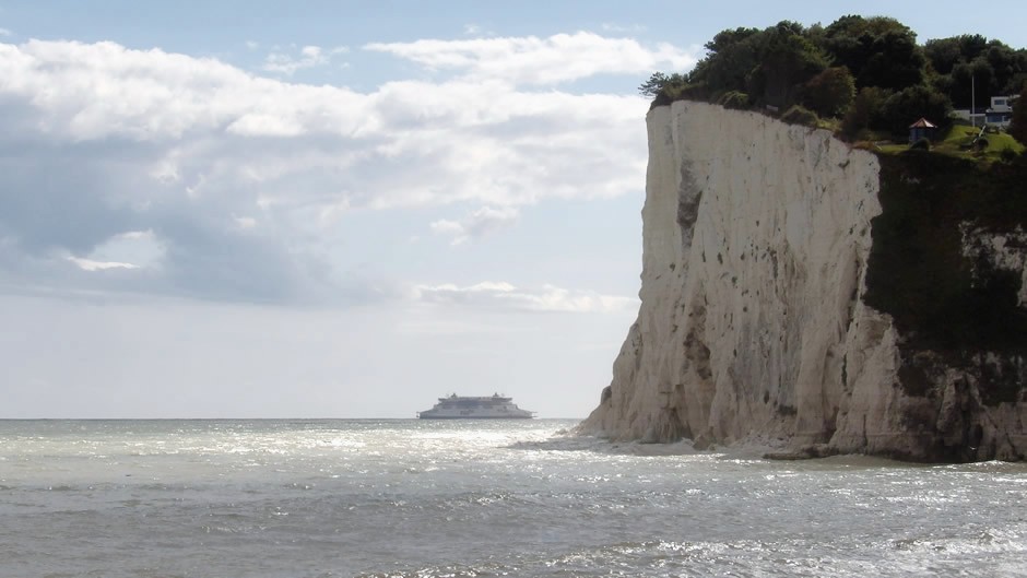
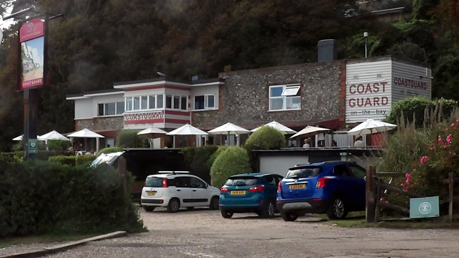
The journey continued, passing the port of Dover – probably the first time the author has been here without crossing to/from continental Europe:
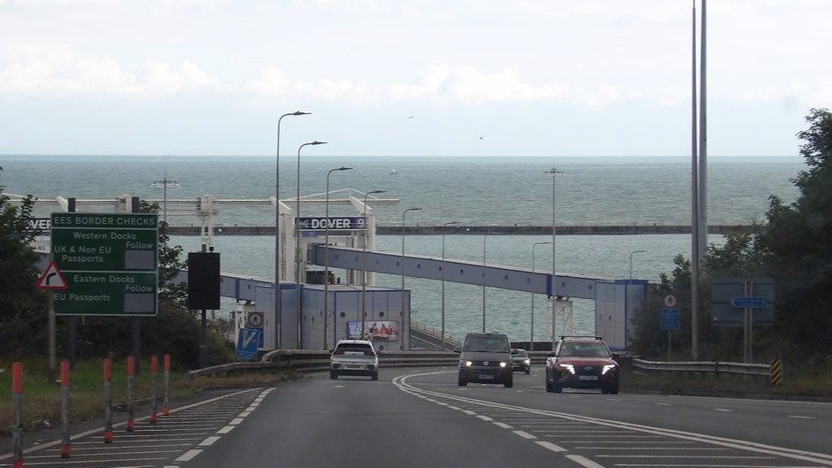
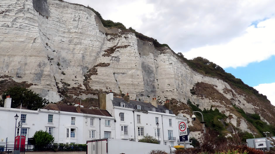
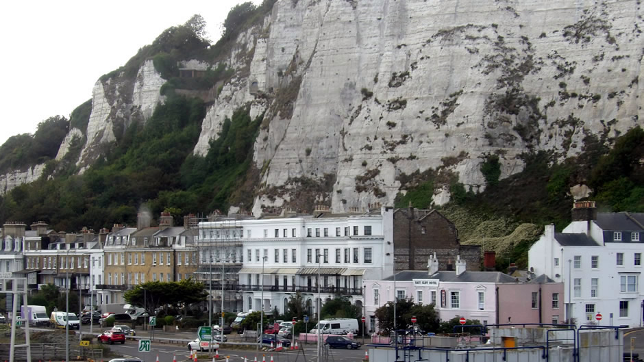
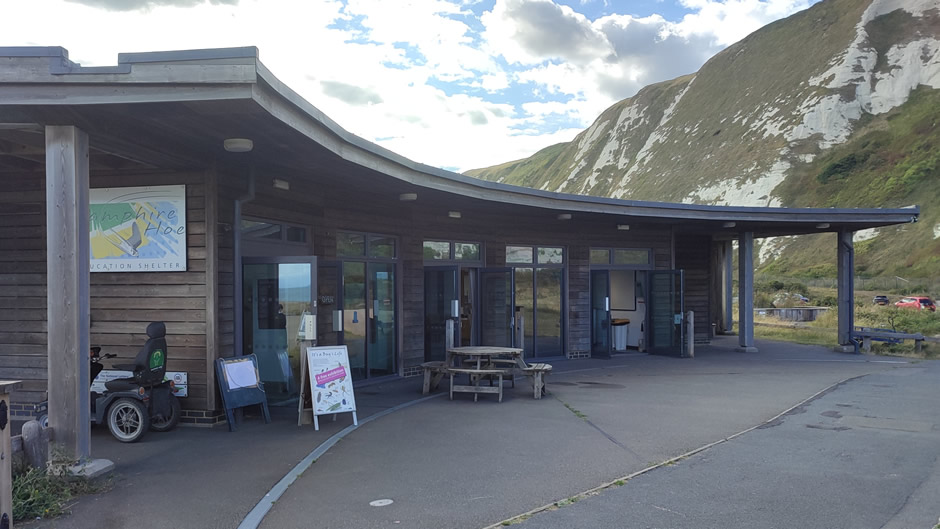
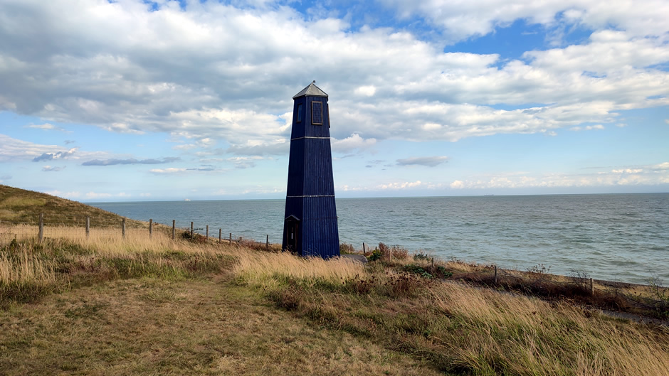
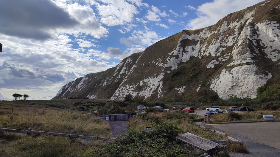
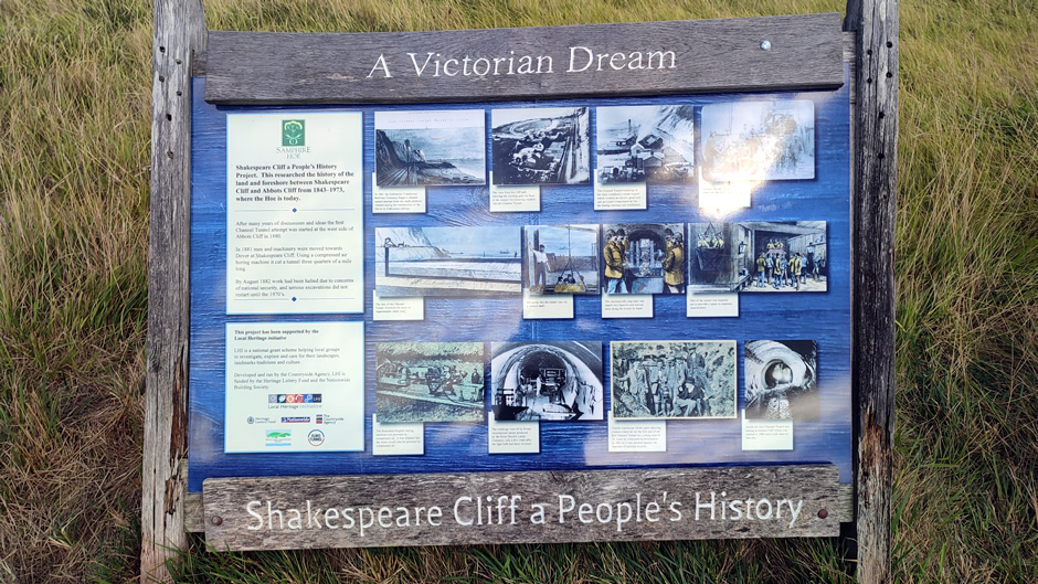
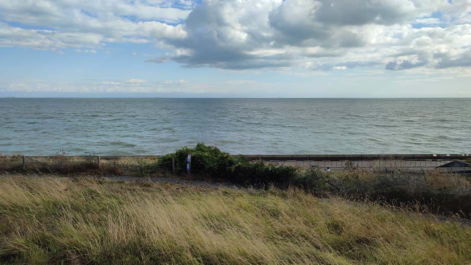
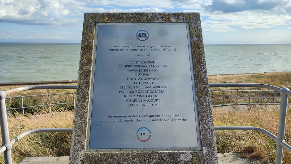
After passing through Dover, the final main stop of the day was at Samphire Hoe, a coastal nature site created from chalk excavated during the construction of the Channel Tunnel. The reclaimed land here, itself accessed through a small road tunnel, forms a unique landscape at the base of the White Cliffs. It offers walking trails, wildlife habitats, and striking sea views, demonstrating how engineered land can develop into a thriving natural environment:
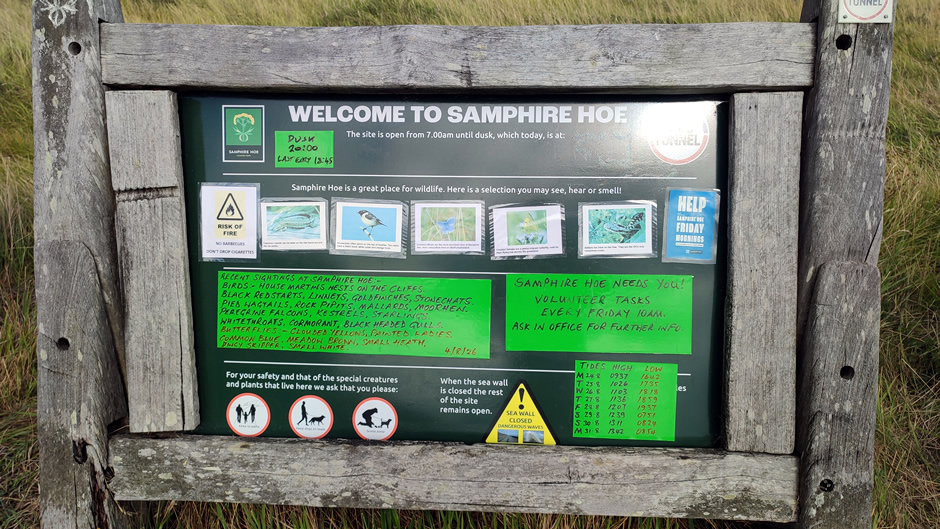
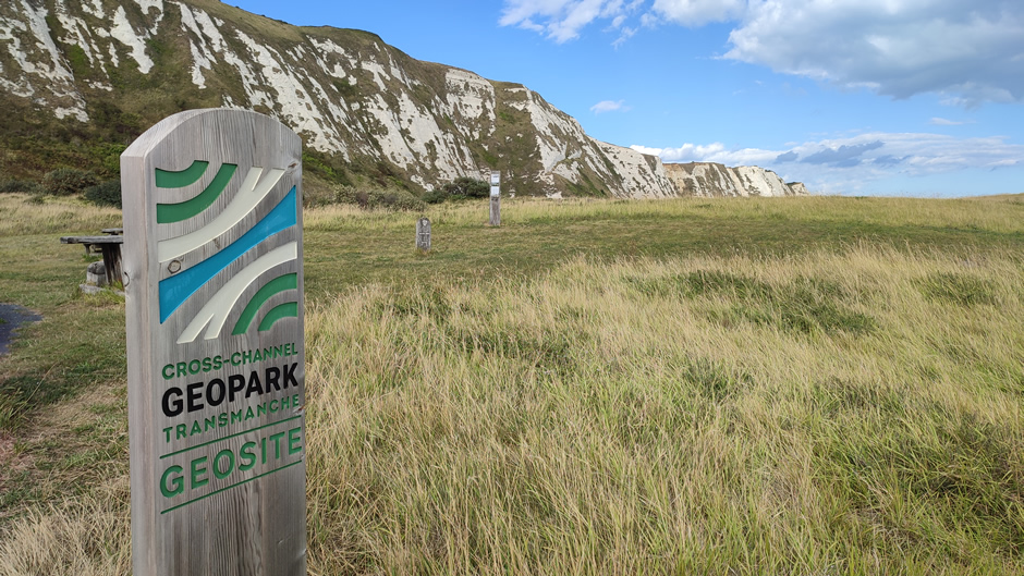
The route back to Chatham went through Canterbury, seeing the famous cathedral, although time did not permit stopping here (a previous visit had been made some years prior).
The third and final day involved seeing a few more sights in Kent before heading home. The first destination was the Isle of Sheppey. The Isle of Sheppey sits off the north Kent coast, shaped by marshes, low hills, and long stretches of shoreline that have supported farming, industry, and coastal communities for centuries. Its position in the Thames Estuary has made it strategically important, with a landscape that reflects both maritime heritage and modern development. In terms of national ranking, the Isle of Sheppey is England's 2nd largest island by area and its 3rd most populous island (excluding the mainland of Great Britain) – The Isle of Wight has a larger population and area, whilst the smaller-sized Portsea Island in Portsmouth is the most populous overall. The island is split from the mainland of Kent by a narrow channel of water called the Swale over which two bridges connect it - the Kingsferry Bridge, a 1959 steel lifting bridge that still carries the Sheerness railway line, along with local road traffic, pedestrians, and cyclists, and the Sheppey Crossing, a high‑level road bridge, opened in 2006 that carries the A249 over the Swale on a four‑lane span. The newer Sheppey crossing provides faster, uninterrupted access between the island and the main road networks in Kent and beyond; its height allows ships to pass beneath without stopping road traffic, making it the primary vehicle route today.
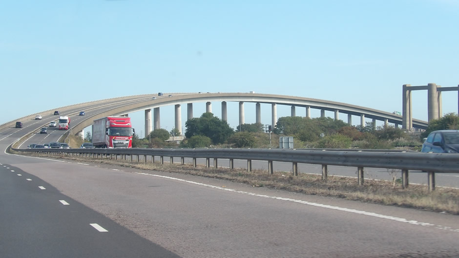
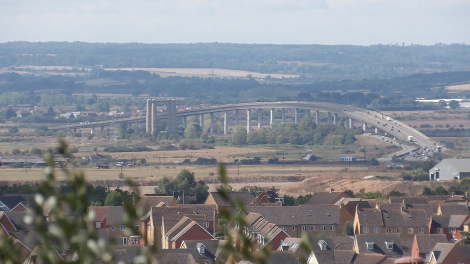
Above: Driving over the Sheppey Crossing, and the bridges, as seen atop a hill in the town of Minster.
After crossing over the Sheppey crossing, the first stop was Sheerness, the island’s main town. Sheerness developed around its deep‑water port and historic dockyard, which once served as a key naval supply base. Today, the port remains a major commercial deep-water port, featuring seven deep-water berths with a controlling depth of 14.7 metres, extensive open and covered storage, and a freightliner rail terminal; it serves as a leading UK hub for importing cars, fresh produce, and forest products like timber and paper. The town itself combines its industrial activity with a seafront of beaches, promenades, and Victorian architecture.
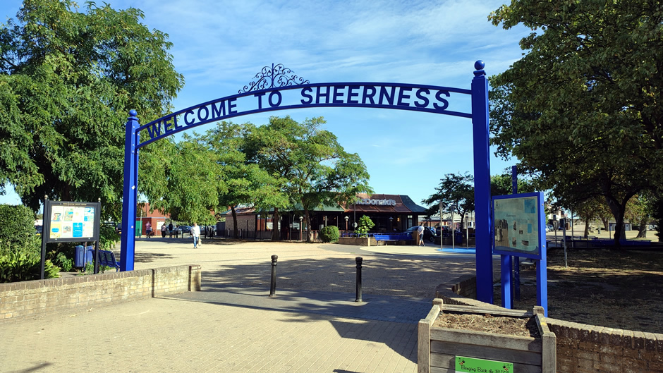
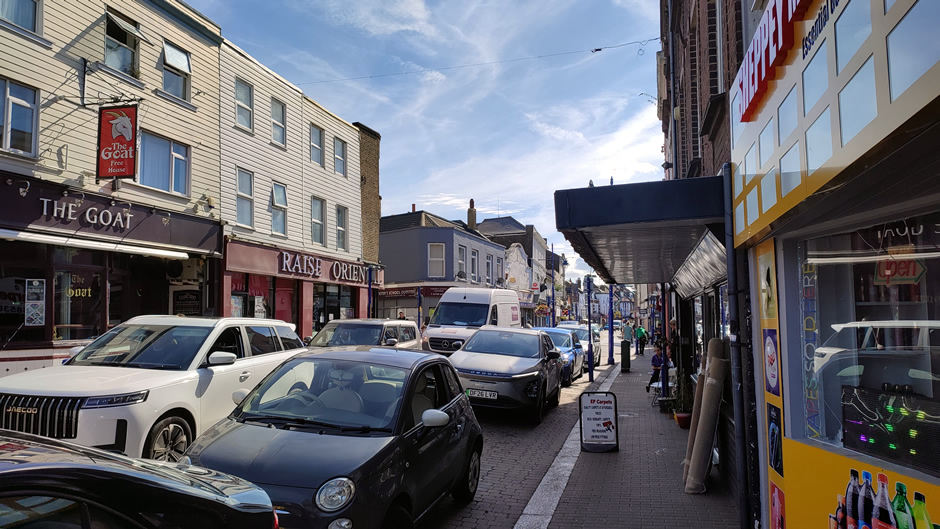
From Sheerness, the coastal road eastwards was followed, which runs adjacent to the island’s northern, Thames Estuary-facing side:
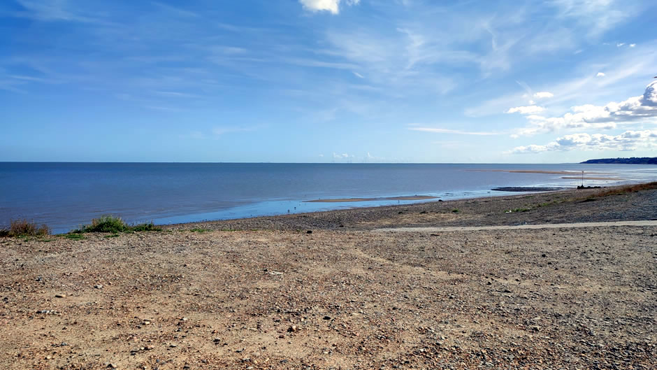
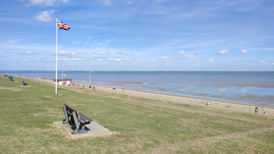
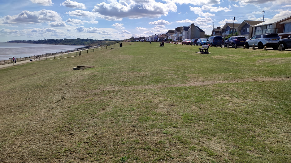
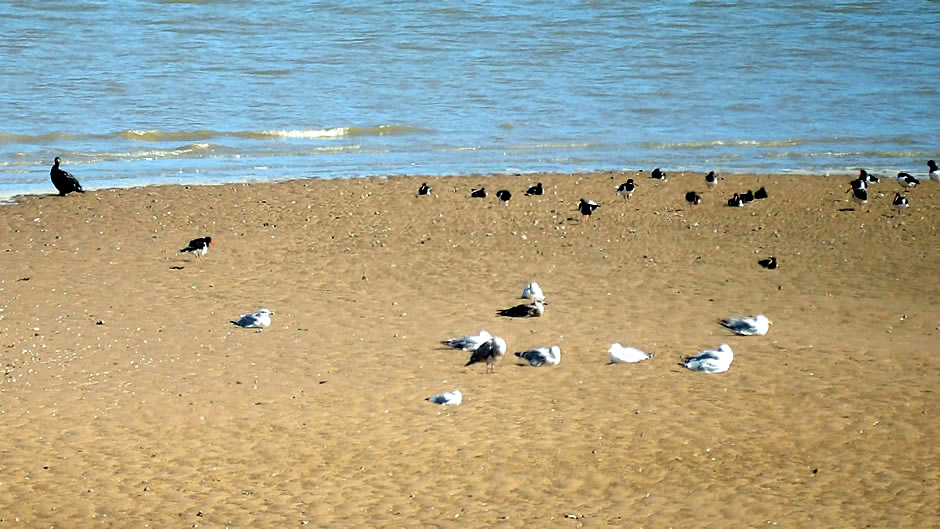
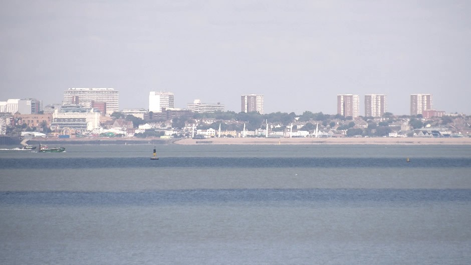
Above: The last photo shows Southend-on-Sea as seen from the Isle of Sheppey (zoom lens).
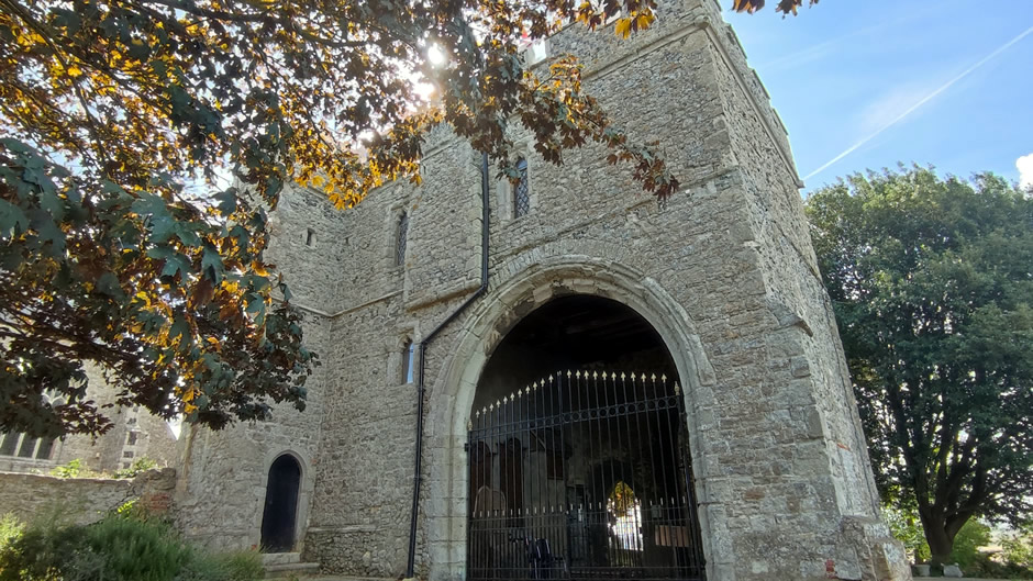
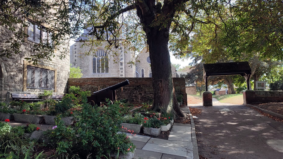
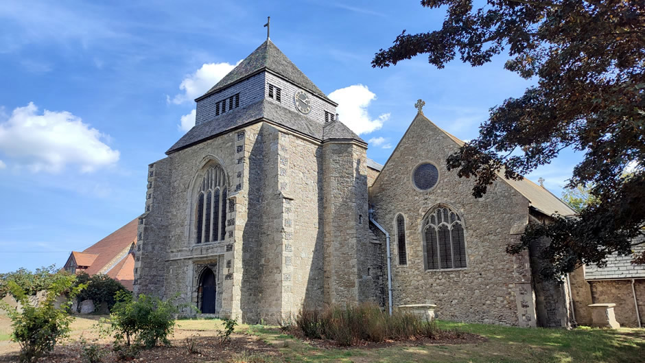
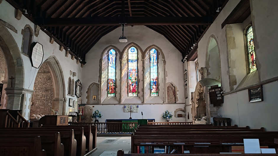
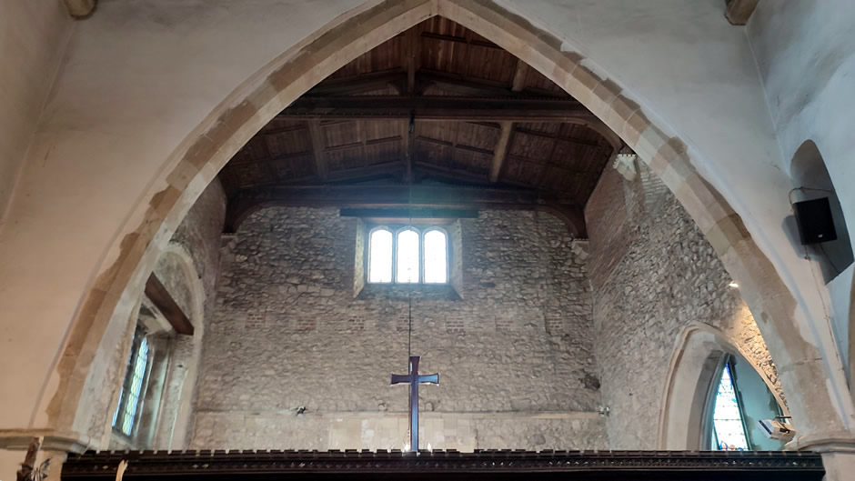
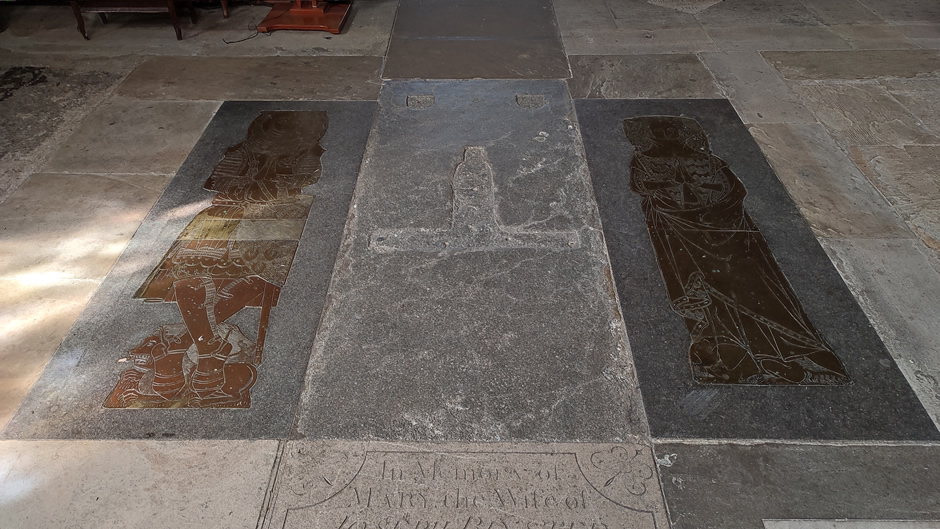
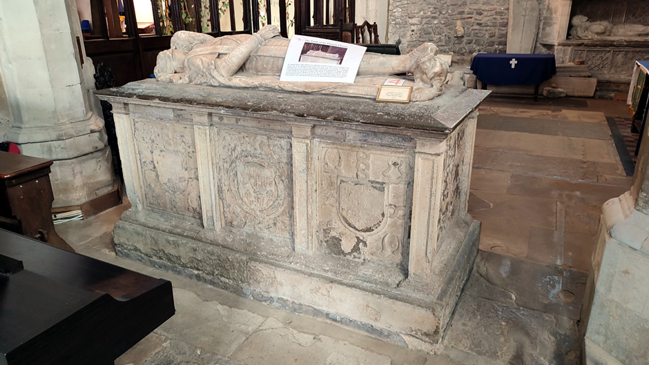
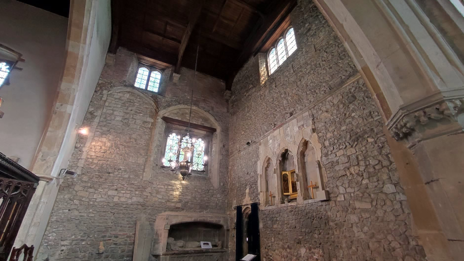
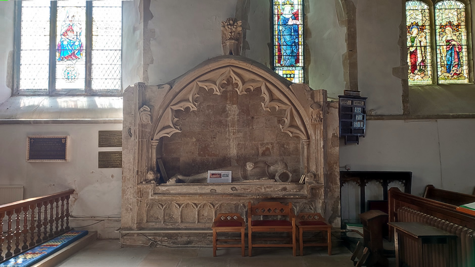
The next and final stop on the Isle of Sheppey was at the Abbey Church of St Mary and St Sexburga (Minster Abbey) in the town of Minster. The building incorporates Saxon origins and later medieval work, creating a long‑standing focal point for worship and local history. It stands on the highest hill of the Isle of Sheppey and has been a place of worship for more than 1,400 years. Founded in 664 A.D. by Queen Sexburga as a Benedictine nunnery for 77 nuns, it was later rebuilt in the 12th century after Viking destruction, creating its unusual layout of two adjoining churches - one for the nuns and one for parishioners. The building incorporates Saxon stonework, Roman tiles, and later Caen stone, and today remains a Grade I listed structure featuring a 15th‑century tower, medieval monuments, and the historic Abbey Gatehouse:
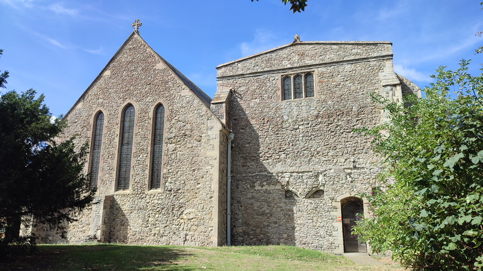
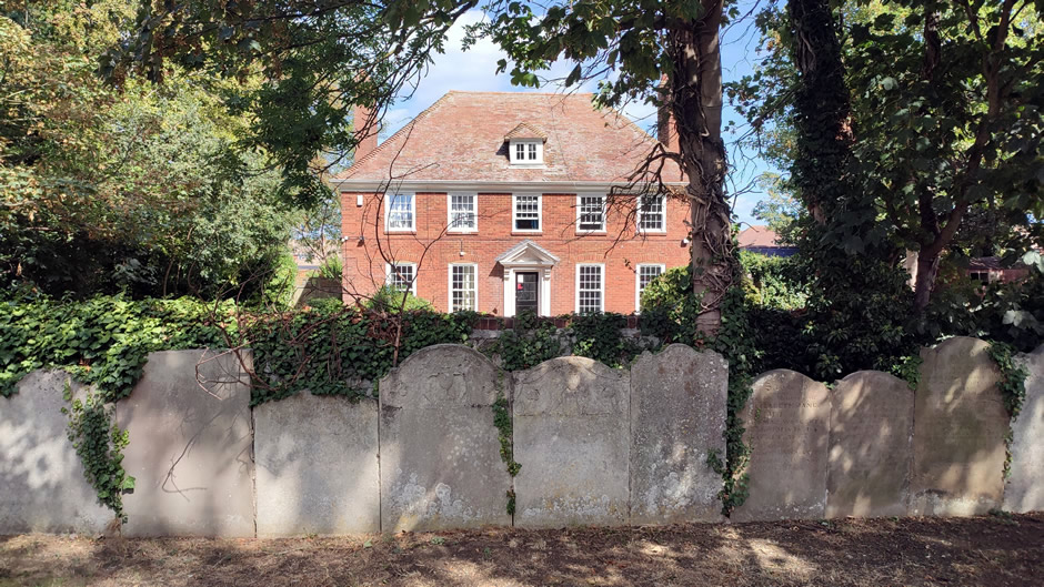
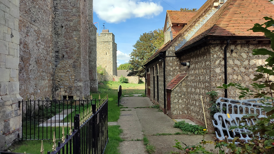
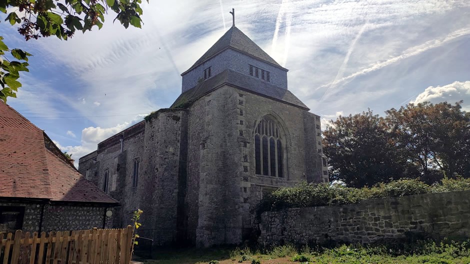
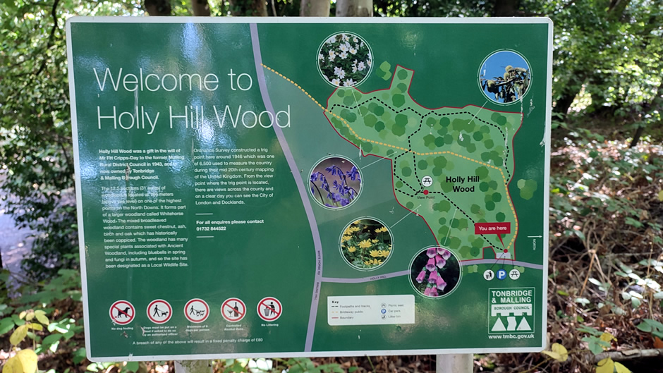
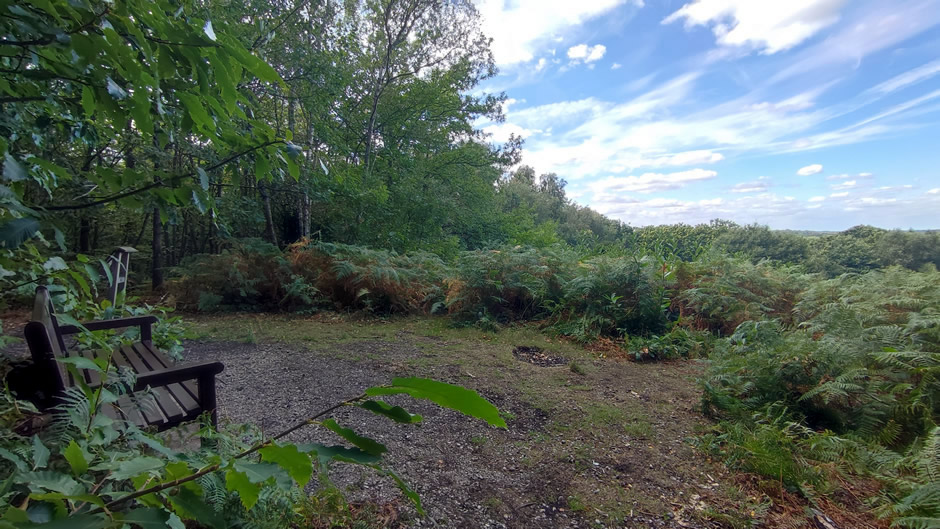
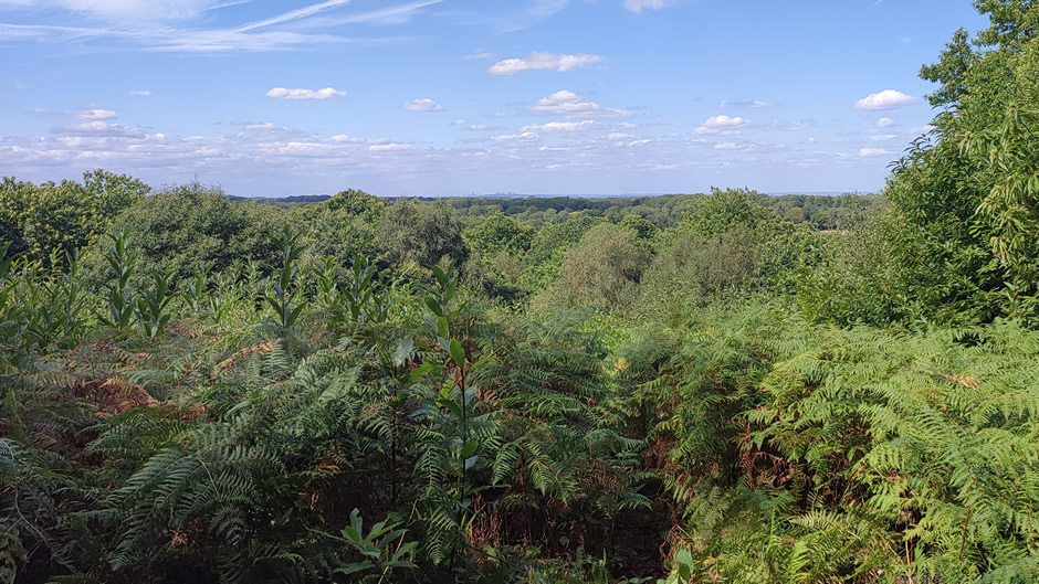
Back on “mainland” Kent, a visit was made to the Kent Downs to see Holly Hill Wood, one of the highest points in the county. Located between Birling and Vigo, it rises 643 feet (196m) above sea level and offers views across the surrounding farmland and estuary landscape. Its mix of mature trees, quiet paths, and natural slopes makes it a notable green space within an area shaped by both rural and coastal influences. Perhaps being the end of Summer, the views were slightly obscured by the foliage and the views are better in winter. However, it was possible to take some camera shots, zooming in to the London skyline, with the high-rise Shard and BT Tower, The City of London and Canary Wharf visible on the horizon:
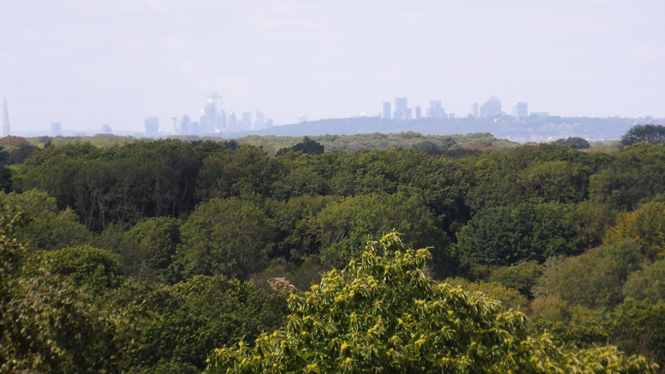
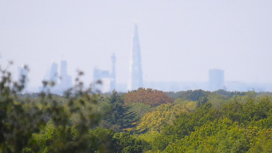
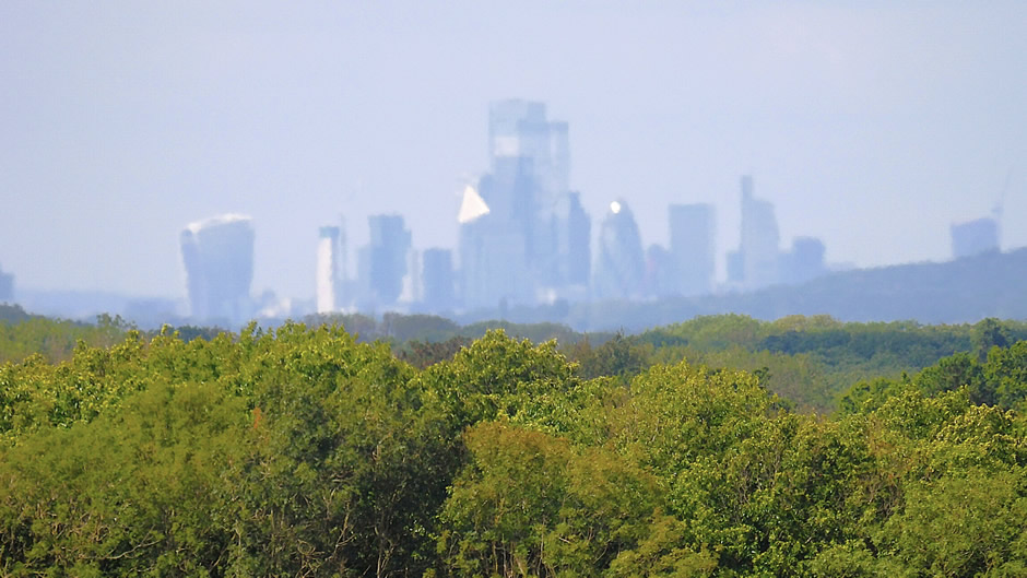
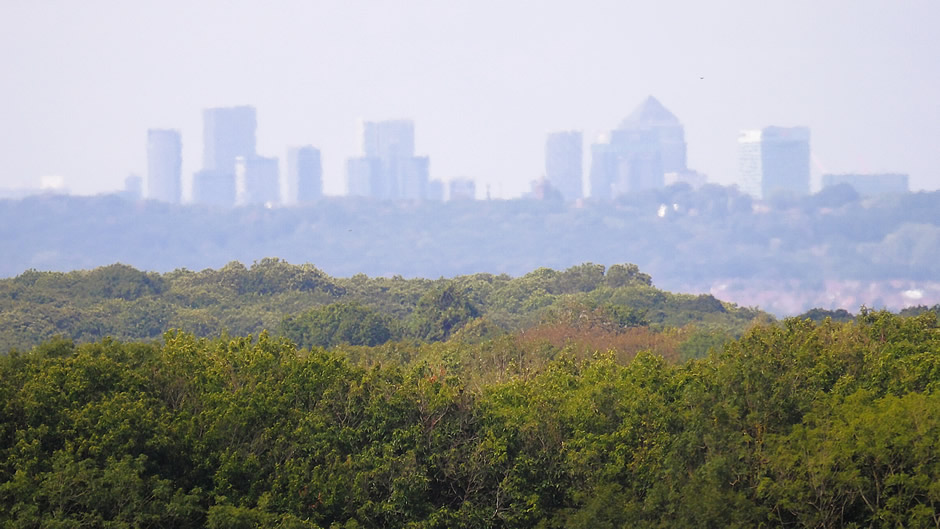
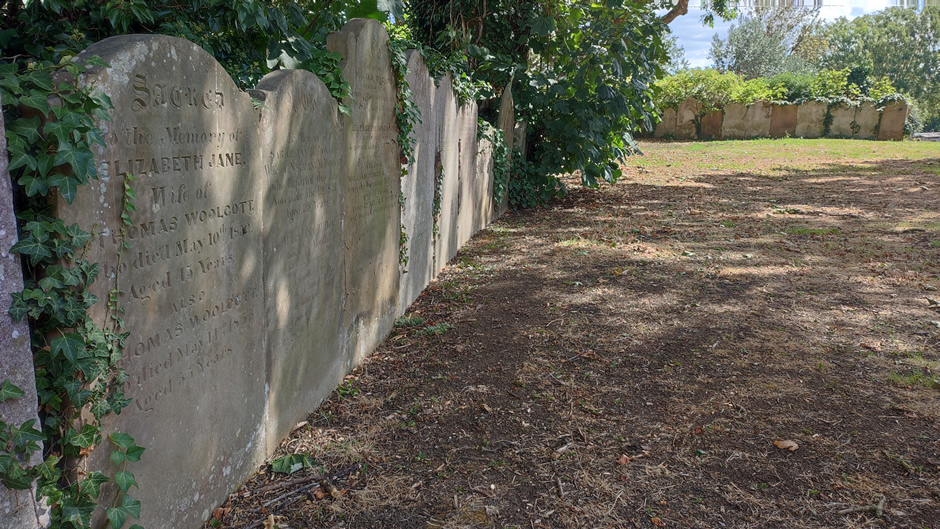
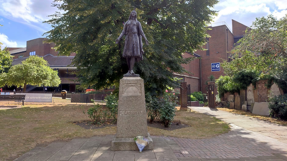
From here, a quick trip was made to Gravesend for one final stop before heading home. Recently, on a visit to Jamestown, Virginia, the author of this website saw the site of the church where Pocahontas married English tobacco planter John Rolfe. Pocahontas passed away in March 1617 at about 21 years old after falling ill while on a ship heading down the River Thames while travelling to Virginia. The crew brought her ashore at Gravesend, where she died.
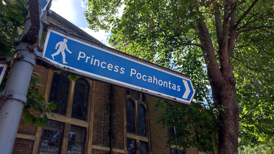
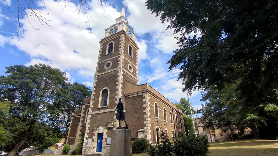
Back to this trip to Kent… whilst in the area, it seemed both fitting and a point of interest to visit the Pocahontas statue, which is located in a churchyard in the town. The statue commemorates the 17th‑century Powhatan woman and stands near St George’s Church, reflecting her historical connection to the area and her role in early colonial encounters. Despite being in Kent, with Virginian colonial architecture still fresh in the mind, it couldn’t help but be noticed how much St George's Church in Gravesend incidentally looks "colonial" in style. The reason here is that it was built in the 1730s during the Georgian architectural era, which heavily influenced the classic, red-and-grey brick colonial style later built across America.
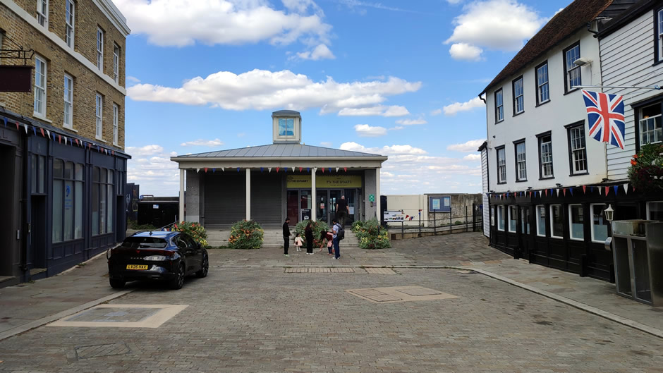
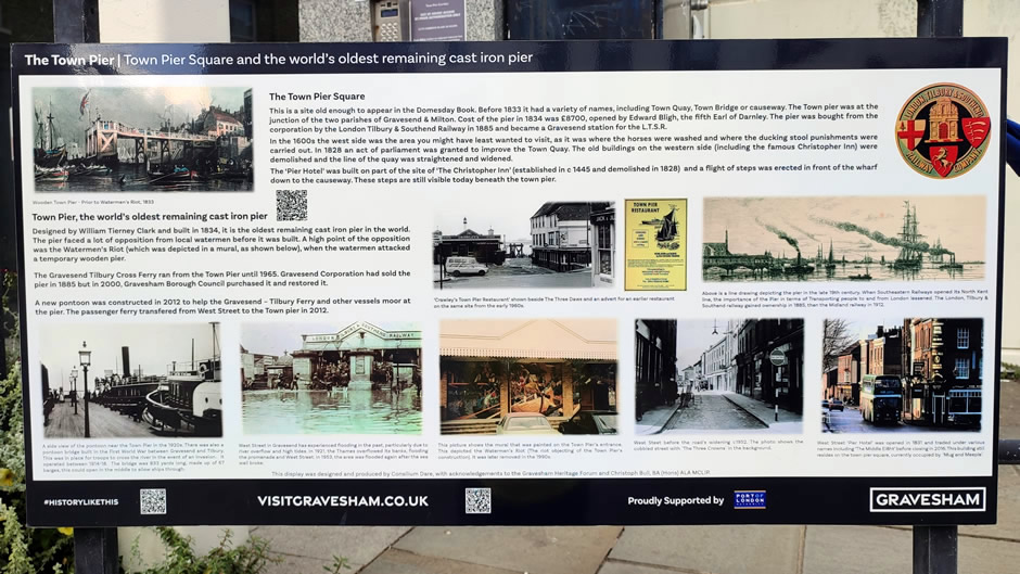
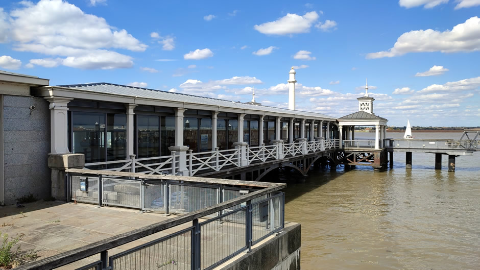
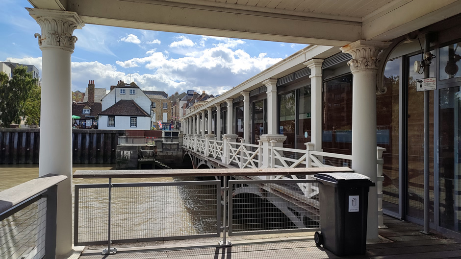
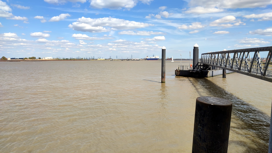
From here, a short walk led to historic Gravesend Pier, a cast‑iron structure dating from the early 19th century, recognised as one of the oldest surviving pleasure piers in Britain. Its riverside position provides views along the Thames and continues to serve as a landing point for modern passenger services.
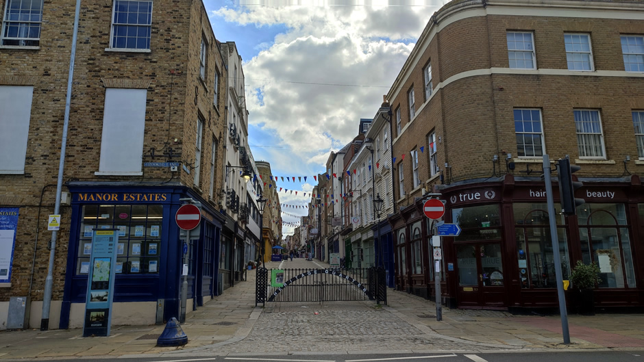
The return journey home involved taking the Woolwich Ferry rather than the Dartford Tunnel, as the route worked out much quicker with queues at the Dartford crossing extending quite far back.
Back to Top
